Shingū geodata
Shingū (Fukuoka) is a populated place; located in Japan in Asia/Tokyo (GMT+9) time zone. With population of 25,991 people, there are 596 cities with bigger population in this country. Compared to other cities in Japan, 83.1% of cities are located further ↑North; 93.6% of cities are located further →East and 93.5% of cities have higher elevation than Shingū. Note1


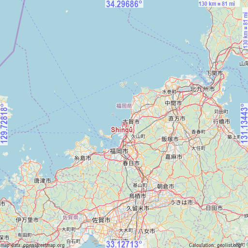
Shingū GPS coordinates[2]
33° 42' 50.364" North, 130° 25' 52.68" East
| Map corner | latitude | longitude |
|---|---|---|
| Upper-left | 34.29686°, | 129.72818° |
| Center: | 33.71399°, | 130.4313° |
| Lower-right: | 33.12713°, | 131.13443° |
| Map W x H: | 130.1×130.1 km | = 80.8×80.8mi |
| max Lat: | 45.40944° ⇑83.1% North |
| Shingū: | 33.71399° |
| min Lat: | ⇓16.9% South 24.34478° |
| min Long | Shingū | max Long |
| 123° | 130.4313° | 145.575° |
| W 6.4%⇐ | ⇒93.6% E |
Elevation
Elevation of Shingū is 4 m = 13 ft, and this is 80.6 m = 264 ft below average elevation for this country.
| Max E: |
1086 m = 3563 ft | 93.5% |
| Avg. | 84.6 m = 278 ft | |
| Shingū | 4 m = 13 ft | |
Min E: |
-2 m = -7 ft | 6.5% |
See also: Japan elevation on elevation.city.
Geographical zone
Shingū is located in North temperate zone (between Tropic of Cancer and the Arctic Circle). Distance of this Northern Tropic circle is 1142.7 km =710 mi to South.| Distance of | km | miles | from Shingū |
|---|---|---|---|
| North Pole | 6258.4 | 3888.8 | to North |
| Arctic Circle | 3652.5 | 2269.6 | to North |
| Tropic Cancer | 1142.7 | 710 | to South |
| Equator | 3748.6 | 2329.3 | to South |


Nearby cities:
15 places around Shingū: (largest is in red/bold)
• Chikushino-shi
25.4 km =15.8 mi,  162°
162°
• Dazaifu
24 km =14.9 mi, 159°
• Fukuoka
12.7 km =7.9 mi,  186°
186°
• Fukutsu
9.5 km =5.9 mi,  35°
35°
• Iizuka
25.2 km =15.7 mi,  110°
110°
• Kasuga
21.1 km =13.1 mi,  172°
172°
• Koga
3.9 km =2.4 mi,  56°
56°
• Miyata
20.5 km =12.7 mi,  91°
91°
• Miyawaka
19.4 km =12.1 mi, 88°
• Munakata
14.9 km =9.3 mi,  52°
52°
• Nishifukuma
7.1 km =4.4 mi,  34°
34°
• Nōgata
27.1 km =16.8 mi,  83°
83°
• Sasaguri
15.6 km =9.7 mi,  134°
134°
• Umi
17.8 km =11.1 mi, 155°
• Ōnojō
20.3 km =12.6 mi, 167°
Sources, notices
• [Note1] Compared only with cities in Japan existing in our database
• [Src1] Map data: © OpenStreetMap contributors (CC-BY-SA)
• [Src2] Other city data from geonames.org with taken over terms of usage.
• [Src3] Geographical zone / Annual Mean Temperature by Robert A. Rohde @ Wikipedia
