Kasamatsuchō geodata
Kasamatsuchō (Gifu) is a populated place; located in Japan in Asia/Tokyo (GMT+9) time zone. With population of 22,671 people, there are 649 cities with bigger population in this country. Compared to other cities in Japan, 50.2% of cities are located further ↑North; 55.3% of cities are located further →East and 93.5% of cities have higher elevation than Kasamatsuchō. Note1


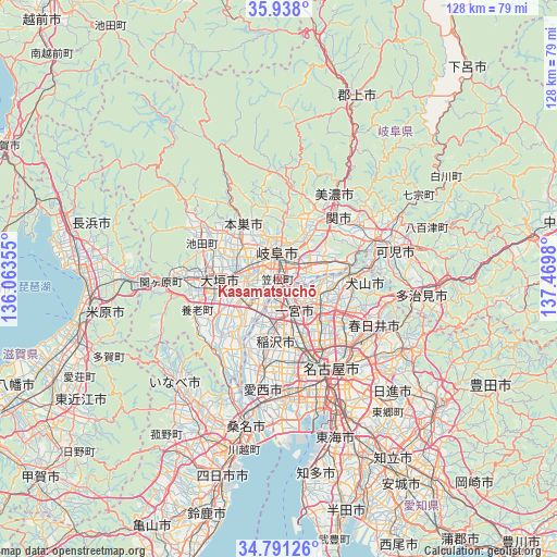
Kasamatsuchō GPS coordinates[2]
35° 22' 0.012" North, 136° 46' 0.012" East
| Map corner | latitude | longitude |
|---|---|---|
| Upper-left | 35.938°, | 136.06355° |
| Center: | 35.36667°, | 136.76667° |
| Lower-right: | 34.79126°, | 137.4698° |
| Map W x H: | 127.5×127.5 km | = 79.2×79.2mi |
| max Lat: | 45.40944° ⇑50.2% North |
| Kasamatsuchō: | 35.36667° |
| min Lat: | ⇓49.8% South 24.34478° |
| min Long | Kasamatsuchō | max Long |
| 123° | 136.76667° | 145.575° |
| W 44.7%⇐ | ⇒55.3% E |
Elevation
Elevation of Kasamatsuchō is 4 m = 13 ft, and this is 80.6 m = 264 ft below average elevation for this country.
| Max E: |
1086 m = 3563 ft | 93.5% |
| Avg. | 84.6 m = 278 ft | |
| Kasamatsuchō | 4 m = 13 ft | |
Min E: |
-2 m = -7 ft | 6.5% |
See also: Japan elevation on elevation.city.
Geographical zone
Kasamatsuchō is located in North temperate zone (between Tropic of Cancer and the Arctic Circle). Distance of this Northern Tropic circle is 1326.5 km =824.2 mi to South.| Distance of | km | miles | from Kasamatsuchō |
|---|---|---|---|
| North Pole | 6074.7 | 3774.6 | to North |
| Arctic Circle | 3468.8 | 2155.4 | to North |
| Tropic Cancer | 1326.5 | 824.2 | to South |
| Equator | 3932.4 | 2443.5 | to South |


Nearby cities:
15 places around Kasamatsuchō: (largest is in red/bold)
• Gifu-shi
6.3 km =3.9 mi,  354°
354°
• Gōdo
16.1 km =10 mi,  290°
290°
• Hashima
8.9 km =5.5 mi,  241°
241°
• Ichinomiya
8 km =5 mi,  157°
157°
• Inazawa
13.1 km =8.1 mi,  173°
173°
• Inuyama
16.1 km =10 mi,  84°
84°
• Iwakura
13 km =8.1 mi,  135°
135°
• Kakamigahara
10.6 km =6.6 mi,  58°
58°
• Komaki
16.5 km =10.3 mi,  124°
124°
• Kuroda
2.4 km =1.5 mi, 140°
• Kōnan
10.2 km =6.3 mi,  112°
112°
• Mizuho
9.4 km =5.8 mi, 289°
• Motosu
15.5 km =9.6 mi,  327°
327°
• Sobue
13.7 km =8.5 mi,  199°
199°
• Ōgaki
13.7 km =8.5 mi,  262°
262°
Sources, notices
• [Note1] Compared only with cities in Japan existing in our database
• [Src1] Map data: © OpenStreetMap contributors (CC-BY-SA)
• [Src2] Other city data from geonames.org with taken over terms of usage.
• [Src3] Geographical zone / Annual Mean Temperature by Robert A. Rohde @ Wikipedia
