Tōgane geodata
Tōgane (Chiba) is a seat of a second-order administrative division; located in Japan in Asia/Tokyo (GMT+9) time zone. With population of 66,332 people, there are 293 cities with bigger population in this country. Compared to other cities in Japan, 54.7% of cities are located further ↓South; 84.1% of cities are located further ←West and 76.3% of cities have higher elevation than Tōgane. Note1


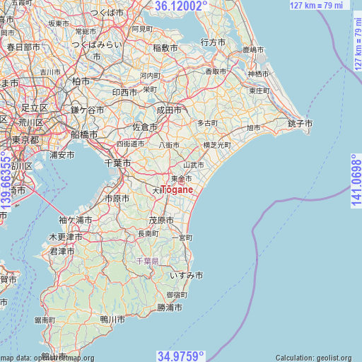
Tōgane GPS coordinates[2]
35° 33' 0" North, 140° 22' 0.012" East
| Map corner | latitude | longitude |
|---|---|---|
| Upper-left | 36.12002°, | 139.66355° |
| Center: | 35.55°, | 140.36667° |
| Lower-right: | 34.9759°, | 141.0698° |
| Map W x H: | 127.2×127.2 km | = 79×79mi |
| max Lat: | 45.40944° ⇑45.3% North |
| Tōgane: | 35.55° |
| min Lat: | ⇓54.7% South 24.34478° |
| min Long | Tōgane | max Long |
| 123° | 140.36667° | 145.575° |
| W 84.1%⇐ | ⇒15.9% E |
Elevation
Elevation of Tōgane is 9 m = 30 ft, and this is 75.6 m = 248 ft below average elevation for this country.
| Max E: |
1086 m = 3563 ft | 76.3% |
| Avg. | 84.6 m = 278 ft | |
| Tōgane | 9 m = 30 ft | |
Min E: |
-2 m = -7 ft | 23.7% |
See also: Tōgane elevation on elevation.city.
Geographical zone
Tōgane is located in North temperate zone (between Tropic of Cancer and the Arctic Circle). Distance of this Northern Tropic circle is 1346.9 km =836.9 mi to South.| Distance of | km | miles | from Tōgane |
|---|---|---|---|
| North Pole | 6054.3 | 3762 | to North |
| Arctic Circle | 3448.4 | 2142.7 | to North |
| Tropic Cancer | 1346.9 | 836.9 | to South |
| Equator | 3952.8 | 2456.2 | to South |


Nearby cities:
15 places around Tōgane: (largest is in red/bold)
• Chiba
23.3 km =14.5 mi,  283°
283°
• Ichihara
25.9 km =16.1 mi,  261°
261°
• Mobara
15.2 km =9.4 mi,  204°
204°
• Narita
26.3 km =16.3 mi,  350°
350°
• Narutō
7.2 km =4.5 mi,  39°
39°
• Sakura
22.1 km =13.7 mi,  326°
326°
• Sanmu
9.8 km =6.1 mi,  28°
28°
• Shisui
20.6 km =12.8 mi, 334°
• Sōsa
24.9 km =15.5 mi, 42°
• Tomisato
21.9 km =13.6 mi,  8°
8°
• Yachimata
12 km =7.5 mi,  337°
337°
• Yotsukaidō
21.2 km =13.2 mi,  301°
301°
• Yōkaichiba
23.5 km =14.6 mi, 44°
• Ōami
5.8 km =3.6 mi,  230°
230°
• Ōamishirasato
4.4 km =2.7 mi, 196°
Sources, notices
• [Note1] Compared only with cities in Japan existing in our database
• [Src1] Map data: © OpenStreetMap contributors (CC-BY-SA)
• [Src2] Other city data from geonames.org with taken over terms of usage.
• [Src3] Geographical zone / Annual Mean Temperature by Robert A. Rohde @ Wikipedia
