Sado geodata
Sado (Niigata) is a seat of a second-order administrative division; located in Japan in Asia/Tokyo (GMT+9) time zone. In our database, there are 767 cities with bigger population. Compared to other cities in Japan, 87.2% of cities are located further ↓South; 55.6% of cities are located further ←West and 51.1% of cities have higher elevation than Sado. Note1


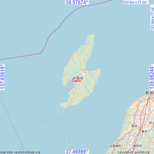
Sado GPS coordinates[2]
38° 1' 29.856" North, 138° 21' 33.516" East
| Map corner | latitude | longitude |
|---|---|---|
| Upper-left | 38.57674°, | 137.65619° |
| Center: | 38.02496°, | 138.35931° |
| Lower-right: | 37.46899°, | 139.06244° |
| Map W x H: | 123.2×123.2 km | = 76.6×76.6mi |
| max Lat: | 45.40944° ⇑12.8% North |
| Sado: | 38.02496° |
| min Lat: | ⇓87.2% South 24.34478° |
| min Long | Sado | max Long |
| 123° | 138.35931° | 145.575° |
| W 55.6%⇐ | ⇒44.4% E |
Elevation
Elevation of Sado is 27 m = 89 ft, and this is 57.6 m = 189 ft below average elevation for this country.
| Max E: |
1086 m = 3563 ft | 51.1% |
| Avg. | 84.6 m = 278 ft | |
| Sado | 27 m = 89 ft | |
Min E: |
-2 m = -7 ft | 48.9% |
See also: Japan elevation on elevation.city.
Geographical zone
Sado is located in North temperate zone (between Tropic of Cancer and the Arctic Circle). Distance of this Northern Tropic circle is 1622.1 km =1007.9 mi to South.| Distance of | km | miles | from Sado |
|---|---|---|---|
| North Pole | 5779.1 | 3591 | to North |
| Arctic Circle | 3173.2 | 1971.7 | to North |
| Tropic Cancer | 1622.1 | 1007.9 | to South |
| Equator | 4228 | 2627.2 | to South |


Nearby cities:
15 places around Sado: (largest is in red/bold)
• Gosen
77.9 km =48.4 mi,  114°
114°
• Kameda-honchō
68 km =42.3 mi,  104°
104°
• Kamo
71.6 km =44.5 mi,  124°
124°
• Kashiwazaki
75.1 km =46.7 mi,  167°
167°
• Maki
55.2 km =34.3 mi, 123°
• Mitsuke
74.4 km =46.2 mi,  137°
137°
• Nagaoka
77.1 km =47.9 mi,  145°
145°
• Niigata
58.7 km =36.5 mi, 105°
• Niitsu-honchō
71.5 km =44.4 mi, 110°
• Ryōtsu-minato
9.2 km =5.7 mi,  49°
49°
• Sanjō
68.9 km =42.8 mi,  131°
131°
• Shirone
65 km =40.4 mi, 116°
• Suibara
78.9 km =49 mi, 104°
• Tsubame
63.8 km =39.6 mi, 128°
• Yoshida-kasugachō
59.7 km =37.1 mi, 129°
Sources, notices
• [Note1] Compared only with cities in Japan existing in our database
• [Src1] Map data: © OpenStreetMap contributors (CC-BY-SA)
• [Src2] Other city data from geonames.org with taken over terms of usage.
• [Src3] Geographical zone / Annual Mean Temperature by Robert A. Rohde @ Wikipedia
