Pailin geodata
Pailin is a seat of a first-order administrative division; located in Cambodia in Asia/Phnom_Penh (GMT+7) time zone. With population of 17,850 people, there are 25 cities with bigger population in this country. Compared to other cities in Cambodia, 64.4% of cities are located further ↓South; 95.5% of cities are located further →East and 94.7% of cities have lower elevation than Pailin. Note1


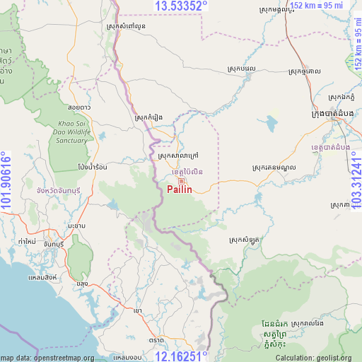
Pailin GPS coordinates[2]
12° 50' 56.22" North, 102° 36' 33.408" East
| Map corner | latitude | longitude |
|---|---|---|
| Upper-left | 13.53352°, | 101.90616° |
| Center: | 12.84895°, | 102.60928° |
| Lower-right: | 12.16251°, | 103.31241° |
| Map W x H: | 152.4×152.4 km | = 94.7×94.7mi |
| max Lat: | 14.23223° ⇑35.6% North |
| Pailin: | 12.84895° |
| min Lat: | ⇓64.4% South 10.48291° |
| min Long | Pailin | max Long |
| 102.37574° | 102.60928° | 107.42393° |
| W 4.5%⇐ | ⇒95.5% E |
Elevation
Elevation of Pailin is 201 m = 659 ft, and this is 149 m = 489 ft above average elevation for this country.
| Max E: |
678 m = 2224 ft | 5.3% |
| Pailin | 201 m 659 ft | |
| Avg. | 52 m = 171 ft | |
Min E: |
4 m = 13 ft | 94.7% |
See also: Cambodia elevation on elevation.city.
Geographical zone
Pailin is located in North Torrid zone (between Equator and Tropic of Cancer). Distance of this Northern Tropic circle is 1177.2 km =731.5 mi to North.| Distance of | km | miles | from Pailin |
|---|---|---|---|
| North Pole | 8578.4 | 5330.4 | to North |
| Arctic Circle | 5972.5 | 3711.1 | to North |
| Tropic Cancer | 1177.2 | 731.5 | to North |
| Equator | 1428.7 | 887.8 | to South |


Nearby cities:
15 places around Pailin: (largest is in red/bold)
• Aek Phnum
75.7 km =47 mi,  62°
62°
• Banan
58.7 km =36.5 mi,  80°
80°
• Bat Dambang
69.5 km =43.2 mi,  48°
48°
• Battambang
69.8 km =43.4 mi,  66°
66°
• Bavel
53.4 km =33.2 mi,  33°
33°
• Kamrieng
29.5 km =18.3 mi,  334°
334°
• Koas Krala
70.8 km =44 mi,  98°
98°
• Mongkol Borei
89.2 km =55.4 mi, 30°
• Ou Chrov
87.9 km =54.6 mi,  358°
358°
• Phnum Proek
47.7 km =29.6 mi, 330°
• Sala Krau
11.9 km =7.4 mi, 359°
• Samlout
37.4 km =23.2 mi,  133°
133°
• Sampov Lun
69.6 km =43.2 mi,  338°
338°
• Sangkae
73.4 km =45.6 mi, 69°
• Veal Veaeng
80.8 km =50.2 mi,  138°
138°
Sources, notices
• [Note1] Compared only with cities in Cambodia existing in our database
• [Src1] Map data: © OpenStreetMap contributors (CC-BY-SA)
• [Src2] Other city data from geonames.org with taken over terms of usage.
• [Src3] Geographical zone / Annual Mean Temperature by Robert A. Rohde @ Wikipedia
