Rungata geodata
Rungata (Gilbert Islands) is a populated place; located in Kiribati in Pacific/Tarawa (GMT+12) time zone. With population of 933 people, there are 18 cities with bigger population in this country. Compared to other cities in Kiribati, 94.3% of cities are located further ↑North; 97.1% of cities are located further ←West and 80% of cities have higher elevation than Rungata. Note1


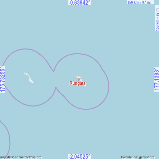
Rungata GPS coordinates[2]
1° 20' 32.784" South, 176° 26' 8.412" East
| Map corner | latitude | longitude |
|---|---|---|
| Upper-left | -0.63942°, | 175.73255° |
| Center: | -1.34244°, | 176.43567° |
| Lower-right: | -2.04525°, | 177.1388° |
| Map W x H: | 156.3×156.3 km | = 97.1×97.1mi |
| max Lat: | 3.90806° ⇑94.3% North |
| Rungata: | -1.34244° |
| min Lat: | ⇓5.7% South -2.65512° |
| min Long | Rungata | max Long |
| -159.38832° | 176.43567° | 176.83302° |
| W 97.1%⇐ | ⇒2.9% E |
Elevation
Elevation of Rungata is 9 m = 30 ft, and this is 0.9 m = 3 ft below average elevation for this country.
| Max E: |
13 m = 43 ft | 80% |
| Avg. | 9.9 m = 32 ft | |
| Rungata | 9 m = 30 ft | |
Min E: |
6 m = 20 ft | 20% |
See also: Kiribati elevation on elevation.city.
Geographical zone
Rungata is located in South Torrid zone (between Equator and Tropic of Capricorn). Distance of Equator is 149.3 km =92.8 mi to North.| Distance of | km | miles | from Rungata |
|---|---|---|---|
| Equator | 149.3 | 92.8 | to North |
| Tropic Capricorn | 2456.7 | 1526.5 | to South |
| Antarctic Circle | 7251.9 | 4506.1 | to South |
| South Pole | 9857.8 | 6125.4 | to South |


Nearby cities:
10 places around Rungata: (largest is in red/bold)
• Bakaka Village
138.3 km =85.9 mi,  201°
201°
• Buariki Village
354.1 km =220 mi,  298°
298°
• Eita Village
190.7 km =118.5 mi,  275°
275°
• Matang Village
233.1 km =144.8 mi,  288°
288°
• Roreti Village
152.5 km =94.8 mi,  163°
163°
• Rotuma Village
238.2 km =148 mi, 289°
• Tabiang Village
354 km =220 mi,  305°
305°
• Tanaeang Village
196.8 km =122.3 mi, 276°
• Toboiaki Village
230.3 km =143.1 mi, 286°
• Utiroa Village
187 km =116.2 mi,  274°
274°
Sources, notices
• [Note1] Compared only with cities in Kiribati existing in our database
• [Src1] Map data: © OpenStreetMap contributors (CC-BY-SA)
• [Src2] Other city data from geonames.org with taken over terms of usage.
• [Src3] Geographical zone / Annual Mean Temperature by Robert A. Rohde @ Wikipedia
