Roreti Village geodata
Roreti Village (Gilbert Islands) is a populated place; located in Kiribati in Pacific/Tarawa (GMT+12) time zone. With population of 764 people, there are 23 cities with bigger population in this country. Compared to other cities in Kiribati, 100% of cities are located further ↑North; 100% of cities are located further ←West and 60% of cities have lower elevation than Roreti Village. Note1


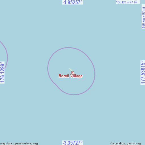
Roreti Village GPS coordinates[2]
2° 39' 18.432" South, 176° 49' 58.872" East
| Map corner | latitude | longitude |
|---|---|---|
| Upper-left | -1.95257°, | 176.1299° |
| Center: | -2.65512°, | 176.83302° |
| Lower-right: | -3.35727°, | 177.53615° |
| Map W x H: | 156.2×156.2 km | = 97.1×97.1mi |
| max Lat: | 3.90806° ⇑100% North |
| Roreti Village: | -2.65512° |
| min Lat: | ⇓0% South -2.65512° |
| min Long | Roreti Village | max Long |
| -159.38832° | 176.83302° | 176.83302° |
| W 100%⇐ | ⇒0% E |
Elevation
Elevation of Roreti Village is 11 m = 36 ft, and this is 1.1 m = 4 ft above average elevation for this country.
| Max E: |
13 m = 43 ft | 40% |
| Roreti Village | 11 m 36 ft | |
| Avg. | 9.9 m = 32 ft | |
Min E: |
6 m = 20 ft | 60% |
See also: Kiribati elevation on elevation.city.
Geographical zone
Roreti Village is located in South Torrid zone (between Equator and Tropic of Capricorn). Distance of Equator is 295.2 km =183.4 mi to North.| Distance of | km | miles | from Roreti Village |
|---|---|---|---|
| Equator | 295.2 | 183.4 | to North |
| Tropic Capricorn | 2310.7 | 1435.8 | to South |
| Antarctic Circle | 7106 | 4415.5 | to South |
| South Pole | 9711.8 | 6034.6 | to South |


Nearby cities:
8 places around Roreti Village: (largest is in red/bold)
• Bakaka Village
96.3 km =59.8 mi,  280°
280°
• Eita Village
285.8 km =177.6 mi,  305°
305°
• Matang Village
344.8 km =214.2 mi, 309°
• Rotuma Village
350.6 km =217.9 mi, 309°
• Rungata
152.5 km =94.8 mi,  343°
343°
• Tanaeang Village
293 km =182.1 mi, 305°
• Toboiaki Village
339.6 km =211 mi, 308°
• Utiroa Village
280.7 km =174.4 mi,  304°
304°
Sources, notices
• [Note1] Compared only with cities in Kiribati existing in our database
• [Src1] Map data: © OpenStreetMap contributors (CC-BY-SA)
• [Src2] Other city data from geonames.org with taken over terms of usage.
• [Src3] Geographical zone / Annual Mean Temperature by Robert A. Rohde @ Wikipedia
