Rawannawi Village geodata
Rawannawi Village (Gilbert Islands) is a populated place; located in Kiribati in Pacific/Tarawa (GMT+12) time zone. With population of 1,075 people, there are 16 cities with bigger population in this country. Compared to other cities in Kiribati, 88.6% of cities are located further ↓South; 68.6% of cities are located further ←West and 80% of cities have higher elevation than Rawannawi Village. Note1


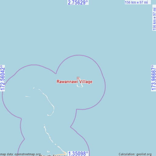
Rawannawi Village GPS coordinates[2]
2° 3' 13.644" North, 173° 15' 48.744" East
| Map corner | latitude | longitude |
|---|---|---|
| Upper-left | 2.75629°, | 172.56042° |
| Center: | 2.05379°, | 173.26354° |
| Lower-right: | 1.35098°, | 173.96667° |
| Map W x H: | 156.3×156.3 km | = 97.1×97.1mi |
| max Lat: | 3.90806° ⇑11.4% North |
| Rawannawi Village: | 2.05379° |
| min Lat: | ⇓88.6% South -2.65512° |
| min Long | Rawannawi Villa | max Long |
| -159.38832° | 173.26354° | 176.83302° |
| W 68.6%⇐ | ⇒31.4% E |
Elevation
Elevation of Rawannawi Village is 9 m = 30 ft, and this is 0.9 m = 3 ft below average elevation for this country.
| Max E: |
13 m = 43 ft | 80% |
| Avg. | 9.9 m = 32 ft | |
| Rawannawi Village | 9 m = 30 ft | |
Min E: |
6 m = 20 ft | 20% |
See also: Kiribati elevation on elevation.city.
Geographical zone
Rawannawi Village is located in North Torrid zone (between Equator and Tropic of Cancer). Distance of Equator is 228.4 km =141.9 mi to South.| Distance of | km | miles | from Rawannawi Village |
|---|---|---|---|
| North Pole | 9778.7 | 6076.2 | to North |
| Arctic Circle | 7172.8 | 4457 | to North |
| Tropic Cancer | 2377.6 | 1477.4 | to North |
| Equator | 228.4 | 141.9 | to South |


Nearby cities:
15 places around Rawannawi Village: (largest is in red/bold)
• Abarao Village
78.7 km =48.9 mi,  192°
192°
• Ambo Village
81.7 km =50.8 mi,  197°
197°
• Banraeaba Village
82.8 km =51.4 mi, 197°
• Betio Village
86.2 km =53.6 mi,  206°
206°
• Bikenibeu Village
77.9 km =48.4 mi, 191°
• Bonriki Village
76.1 km =47.3 mi, 190°
• Buariki Village
60.2 km =37.4 mi, 214°
• Buota Village
75.2 km =46.7 mi, 191°
• Eita Village
79.6 km =49.5 mi, 194°
• Nanikai Village
85.7 km =53.3 mi, 200°
• Nawerewere Village
78 km =48.5 mi, 190°
• Taborio Village
66 km =41 mi, 206°
• Taborio Village
81 km =50.3 mi, 196°
• Teaoraereke Village
84.9 km =52.8 mi, 199°
• Temaiku Village
77.6 km =48.2 mi, 188°
Sources, notices
• [Note1] Compared only with cities in Kiribati existing in our database
• [Src1] Map data: © OpenStreetMap contributors (CC-BY-SA)
• [Src2] Other city data from geonames.org with taken over terms of usage.
• [Src3] Geographical zone / Annual Mean Temperature by Robert A. Rohde @ Wikipedia
