Itsandra geodata
Itsandra (Grande Comore) is a populated place; located in Comoros in Indian/Comoro (GMT+3) time zone. With population of 3,168 people, there are 30 cities with bigger population in this country. Compared to other cities in Comoros, 71.7% of cities are located further ↓South; 98.2% of cities are located further →East and 85.8% of cities have higher elevation than Itsandra. Note1


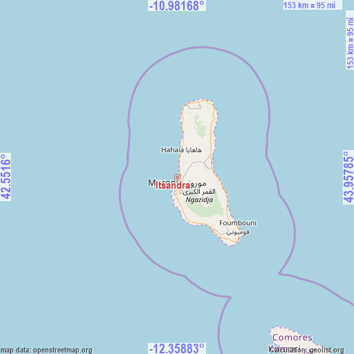
Itsandra GPS coordinates[2]
11° 40' 15.996" South, 43° 15' 16.992" East
| Map corner | latitude | longitude |
|---|---|---|
| Upper-left | -10.98168°, | 42.5516° |
| Center: | -11.67111°, | 43.25472° |
| Lower-right: | -12.35883°, | 43.95785° |
| Map W x H: | 153.1×153.1 km | = 95.1×95.1mi |
| max Lat: | -11.38472° ⇑28.3% North |
| Itsandra: | -11.67111° |
| min Lat: | ⇓71.7% South -12.37306° |
| min Long | Itsandra | max Long |
| 43.2525° | 43.25472° | 44.53194° |
| W 1.8%⇐ | ⇒98.2% E |
Elevation
Elevation of Itsandra is 26 m = 85 ft, and this is 170.1 m = 558 ft below average elevation for this country.
| Max E: |
924 m = 3031 ft | 85.8% |
| Avg. | 196.1 m = 643 ft | |
| Itsandra | 26 m = 85 ft | |
Min E: |
1 m = 3 ft | 14.2% |
See also: Comoros elevation on elevation.city.
Geographical zone
Itsandra is located in South Torrid zone (between Equator and Tropic of Capricorn). Distance of Equator is 1297.7 km =806.4 mi to North.| Distance of | km | miles | from Itsandra |
|---|---|---|---|
| Equator | 1297.7 | 806.4 | to North |
| Tropic Capricorn | 1308.2 | 812.9 | to South |
| Antarctic Circle | 6103.5 | 3792.5 | to South |
| South Pole | 8709.4 | 5411.8 | to South |


Nearby cities:
15 places around Itsandra: (largest is in red/bold)
• Bahani
4.7 km =2.9 mi,  42°
42°
• Batsa
4.8 km =3 mi,  6°
6°
• Bibavou
11.2 km =7 mi, 12°
• Dzahani
2.7 km =1.7 mi,  55°
55°
• Mavingouni
5 km =3.1 mi,  182°
182°
• Milembéni
1.6 km =1 mi,  50°
50°
• Moroni
3.5 km =2.2 mi, 179°
• Mvouni
5.1 km =3.2 mi,  167°
167°
• Ntsoudjini
1.5 km =0.9 mi,  29°
29°
• Oussivo
9.7 km =6 mi, 8°
• Tsidjé
3.1 km =1.9 mi, 165°
• Vanadjou
7.4 km =4.6 mi,  18°
18°
• Vanambouani
6.6 km =4.1 mi,  358°
358°
• Wela
3.4 km =2.1 mi, 55°
• Zivandani
3.1 km =1.9 mi, 23°
Sources, notices
• [Note1] Compared only with cities in Comoros existing in our database
• [Src1] Map data: © OpenStreetMap contributors (CC-BY-SA)
• [Src2] Other city data from geonames.org with taken over terms of usage.
• [Src3] Geographical zone / Annual Mean Temperature by Robert A. Rohde @ Wikipedia
