Mvouni geodata
Mvouni (Grande Comore) is a populated place; located in Comoros in Indian/Comoro (GMT+3) time zone. With population of 4,791 people, there are 20 cities with bigger population in this country. Compared to other cities in Comoros, 68.1% of cities are located further ↓South; 92% of cities are located further →East and 68.1% of cities have lower elevation than Mvouni. Note1


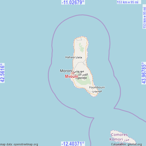
Mvouni GPS coordinates[2]
11° 42' 57.996" South, 43° 15' 52.992" East
| Map corner | latitude | longitude |
|---|---|---|
| Upper-left | -11.02679°, | 42.5616° |
| Center: | -11.71611°, | 43.26472° |
| Lower-right: | -12.40371°, | 43.96785° |
| Map W x H: | 153.1×153.1 km | = 95.1×95.1mi |
| max Lat: | -11.38472° ⇑31.9% North |
| Mvouni: | -11.71611° |
| min Lat: | ⇓68.1% South -12.37306° |
| min Long | Mvouni | max Long |
| 43.2525° | 43.26472° | 44.53194° |
| W 8%⇐ | ⇒92% E |
Elevation
Elevation of Mvouni is 218 m = 715 ft, and this is 21.9 m = 72 ft above average elevation for this country.
| Max E: |
924 m = 3031 ft | 31.9% |
| Mvouni | 218 m 715 ft | |
| Avg. | 196.1 m = 643 ft | |
Min E: |
1 m = 3 ft | 68.1% |
See also: Comoros elevation on elevation.city.
Geographical zone
Mvouni is located in South Torrid zone (between Equator and Tropic of Capricorn). Distance of Equator is 1302.7 km =809.5 mi to North.| Distance of | km | miles | from Mvouni |
|---|---|---|---|
| Equator | 1302.7 | 809.5 | to North |
| Tropic Capricorn | 1303.2 | 809.8 | to South |
| Antarctic Circle | 6098.5 | 3789.4 | to South |
| South Pole | 8704.4 | 5408.7 | to South |


Nearby cities:
15 places around Mvouni: (largest is in red/bold)
• Bahani
8.8 km =5.5 mi,  14°
14°
• Batsa
9.8 km =6.1 mi,  356°
356°
• Dzahani
6.7 km =4.2 mi, 10°
• Itsandra
5.1 km =3.2 mi,  347°
347°
• Mavingouni
1.3 km =0.8 mi,  268°
268°
• Milembéni
6.1 km =3.8 mi,  1°
1°
• Mitsoudjé
10.8 km =6.7 mi,  170°
170°
• Moroni
1.9 km =1.2 mi,  325°
325°
• Ntsoudjini
6.3 km =3.9 mi, 356°
• Salimani
10.6 km =6.6 mi,  177°
177°
• Séléa
7.6 km =4.7 mi, 183°
• Tsidjé
2 km =1.2 mi, 351°
• Vanambouani
11.7 km =7.3 mi, 353°
• Wela
7.2 km =4.5 mi, 13°
• Zivandani
7.8 km =4.8 mi, 0°
Sources, notices
• [Note1] Compared only with cities in Comoros existing in our database
• [Src1] Map data: © OpenStreetMap contributors (CC-BY-SA)
• [Src2] Other city data from geonames.org with taken over terms of usage.
• [Src3] Geographical zone / Annual Mean Temperature by Robert A. Rohde @ Wikipedia
