Bahani geodata
Bahani (Grande Comore) is a populated place; located in Comoros in Indian/Comoro (GMT+3) time zone. With population of 1,272 people, there are 77 cities with bigger population in this country. Compared to other cities in Comoros, 77.9% of cities are located further ↓South; 80.5% of cities are located further →East and 82.3% of cities have lower elevation than Bahani. Note1


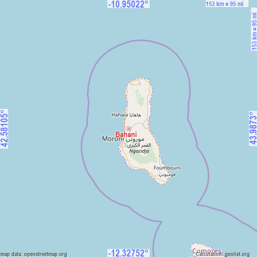
Bahani GPS coordinates[2]
11° 38' 22.992" South, 43° 17' 3.012" East
| Map corner | latitude | longitude |
|---|---|---|
| Upper-left | -10.95022°, | 42.58105° |
| Center: | -11.63972°, | 43.28417° |
| Lower-right: | -12.32752°, | 43.9873° |
| Map W x H: | 153.1×153.1 km | = 95.1×95.1mi |
| max Lat: | -11.38472° ⇑22.1% North |
| Bahani: | -11.63972° |
| min Lat: | ⇓77.9% South -12.37306° |
| min Long | Bahani | max Long |
| 43.2525° | 43.28417° | 44.53194° |
| W 19.5%⇐ | ⇒80.5% E |
Elevation
Elevation of Bahani is 350 m = 1148 ft, and this is 153.9 m = 505 ft above average elevation for this country.
| Max E: |
924 m = 3031 ft | 17.7% |
| Bahani | 350 m 1148 ft | |
| Avg. | 196.1 m = 643 ft | |
Min E: |
1 m = 3 ft | 82.3% |
See also: Comoros elevation on elevation.city.
Geographical zone
Bahani is located in South Torrid zone (between Equator and Tropic of Capricorn). Distance of Equator is 1294.2 km =804.2 mi to North.| Distance of | km | miles | from Bahani |
|---|---|---|---|
| Equator | 1294.2 | 804.2 | to North |
| Tropic Capricorn | 1311.7 | 815.1 | to South |
| Antarctic Circle | 6107 | 3794.7 | to South |
| South Pole | 8712.8 | 5413.9 | to South |


Nearby cities:
15 places around Bahani: (largest is in red/bold)
• Batsa
2.9 km =1.8 mi,  295°
295°
• Bibavou
7.5 km =4.7 mi,  354°
354°
• Dzahani
2.2 km =1.4 mi,  205°
205°
• Itsandra
4.7 km =2.9 mi,  222°
222°
• Mavingouni
9.2 km =5.7 mi,  202°
202°
• Milembéni
3.1 km =1.9 mi, 218°
• Moroni
7.6 km =4.7 mi, 204°
• Mvouni
8.8 km =5.5 mi,  194°
194°
• Ntsoudjini
3.3 km =2.1 mi,  228°
228°
• Oussivo
6.4 km =4 mi,  343°
343°
• Tsidjé
6.9 km =4.3 mi, 200°
• Vanadjou
3.7 km =2.3 mi, 346°
• Vanambouani
4.6 km =2.9 mi,  312°
312°
• Wela
1.6 km =1 mi, 194°
• Zivandani
2.1 km =1.3 mi,  251°
251°
Sources, notices
• [Note1] Compared only with cities in Comoros existing in our database
• [Src1] Map data: © OpenStreetMap contributors (CC-BY-SA)
• [Src2] Other city data from geonames.org with taken over terms of usage.
• [Src3] Geographical zone / Annual Mean Temperature by Robert A. Rohde @ Wikipedia
