Bălţi geodata
Bălţi is a seat of a first-order administrative division; located in Moldova in Europe/Chisinau (GMT+3) time zone. With population of 125,000 people, there are 2 cities with bigger population in this country. Compared to other cities in Moldova, 75.3% of cities are located further ↓South; 84.9% of cities are located further →East and 64.4% of cities have lower elevation than Bălţi. Note1


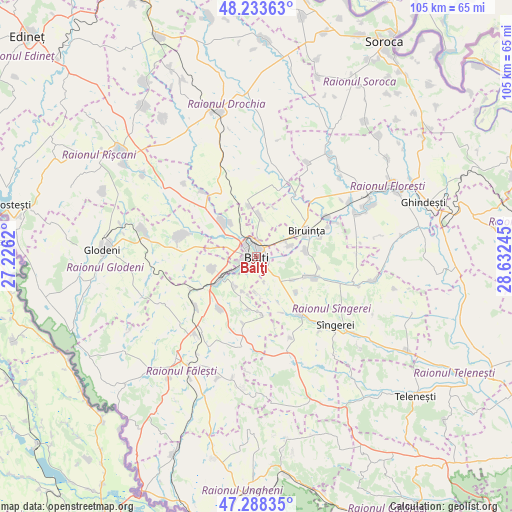
Bălţi GPS coordinates[2]
47° 45' 47.304" North, 27° 55' 45.552" East
| Map corner | latitude | longitude |
|---|---|---|
| Upper-left | 48.23363°, | 27.2262° |
| Center: | 47.76314°, | 27.92932° |
| Lower-right: | 47.28835°, | 28.63245° |
| Map W x H: | 105.1×105.1 km | = 65.3×65.3mi |
| max Lat: | 48.43285° ⇑24.7% North |
| Bălţi: | 47.76314° |
| min Lat: | ⇓75.3% South 45.48167° |
| min Long | Bălţi | max Long |
| 27.07787° | 27.92932° | 29.9617° |
| W 15.1%⇐ | ⇒84.9% E |
Elevation
Elevation of Bălţi is 110 m = 361 ft, and this is 17.2 m = 56 ft above average elevation for this country.
| Max E: |
241 m = 791 ft | 35.6% |
| Bălţi | 110 m 361 ft | |
| Avg. | 92.8 m = 304 ft | |
Min E: |
11 m = 36 ft | 64.4% |
See also: Bălţi elevation on elevation.city.
Geographical zone
Bălţi is located in North temperate zone (between Tropic of Cancer and the Arctic Circle). Distance of this North polar circle is 2090.4 km =1298.9 mi to North.| Distance of | km | miles | from Bălţi |
|---|---|---|---|
| North Pole | 4696.3 | 2918.1 | to North |
| Arctic Circle | 2090.4 | 1298.9 | to North |
| Tropic Cancer | 2704.8 | 1680.7 | to South |
| Equator | 5310.8 | 3300 | to South |


Nearby cities:
15 places around Bălţi: (largest is in red/bold)
• Bilicenii Vechi
14.8 km =9.2 mi,  143°
143°
• Biruinţa
11.9 km =7.4 mi,  61°
61°
• Donduşeni
58.4 km =36.3 mi,  335°
335°
• Drochia
31.5 km =19.6 mi, 344°
• Floreşti
30.7 km =19.1 mi, 62°
• Fălești
26.3 km =16.3 mi,  218°
218°
• Ghindești
34.9 km =21.7 mi,  73°
73°
• Glodeni
30.7 km =19.1 mi,  272°
272°
• Mîndreşti
38.7 km =24 mi, 137°
• Mărculeşti
26.1 km =16.2 mi, 63°
• Rîşcani
34.1 km =21.2 mi,  306°
306°
• Soroca
51.1 km =31.8 mi,  31°
31°
• Sîngerei
21.3 km =13.2 mi,  131°
131°
• Teleneşti
43.8 km =27.2 mi, 131°
• Ungheni
62.2 km =38.6 mi,  188°
188°
Sources, notices
• [Note1] Compared only with cities in Moldova existing in our database
• [Src1] Map data: © OpenStreetMap contributors (CC-BY-SA)
• [Src2] Other city data from geonames.org with taken over terms of usage.
• [Src3] Geographical zone / Annual Mean Temperature by Robert A. Rohde @ Wikipedia
