Moramanga geodata
Moramanga (Alaotra Mangoro) is a populated place; located in Madagascar in Indian/Antananarivo (GMT+3) time zone. With population of 29,212 people, there are 35 cities with bigger population in this country. Compared to other cities in Madagascar, 55.3% of cities are located further ↓South; 70.7% of cities are located further ←West and 68.3% of cities have lower elevation than Moramanga. Note1
Administrative division(s):
- Level 1: Alaotra Mangoro
- Level 2: Moramanga District
- Level 3: Moramanga
- Level 4: Antanamandroso Est


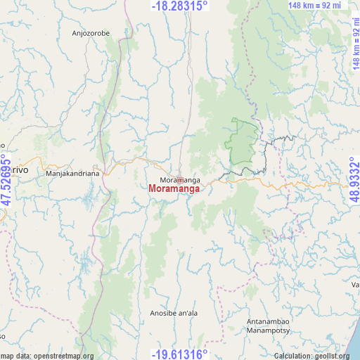
Moramanga GPS coordinates[2]
18° 56' 58.128" South, 48° 13' 48.252" East
| Map corner | latitude | longitude |
|---|---|---|
| Upper-left | -18.28315°, | 47.52695° |
| Center: | -18.94948°, | 48.23007° |
| Lower-right: | -19.61316°, | 48.9332° |
| Map W x H: | 147.9×147.9 km | = 91.9×91.9mi |
| max Lat: | -12.31732° ⇑44.7% North |
| Moramanga: | -18.94948° |
| min Lat: | ⇓55.3% South -25.3° |
| min Long | Moramanga | max Long |
| 43.65° | 48.23007° | 50.27876° |
| W 70.7%⇐ | ⇒29.3% E |
Elevation
Elevation of Moramanga is 913 m = 2995 ft, and this is 355.6 m = 1167 ft above average elevation for this country.
| Max E: |
1763 m = 5784 ft | 31.7% |
| Moramanga | 913 m 2995 ft | |
| Avg. | 557.4 m = 1829 ft | |
Min E: |
1 m = 3 ft | 68.3% |
See also: Madagascar elevation on elevation.city.
Geographical zone
Moramanga is located in South Torrid zone (between Equator and Tropic of Capricorn). Distance of this Southern Tropic circle is 498.9 km =310 mi to South.| Distance of | km | miles | from Moramanga |
|---|---|---|---|
| Equator | 2107 | 1309.2 | to North |
| Tropic Capricorn | 498.9 | 310 | to South |
| Antarctic Circle | 5294.2 | 3289.7 | to South |
| South Pole | 7900.1 | 4908.9 | to South |


Nearby cities:
15 places around Moramanga: (largest is in red/bold)
• Alarobia
52.3 km =32.5 mi,  267°
267°
• Ambatolaona
34.8 km =21.6 mi, 272°
• Ambohitrandriamanitra
49.3 km =30.6 mi,  252°
252°
• Ambohitrolomahitsy
63.9 km =39.7 mi,  295°
295°
• Ambohitseheno
48.9 km =30.4 mi,  292°
292°
• Anjepy
55.1 km =34.2 mi,  281°
281°
• Anjozorobe
72.1 km =44.8 mi,  327°
327°
• Ankazondandy
54.6 km =33.9 mi, 300°
• Manjakandriana
45.4 km =28.2 mi, 274°
• Mantasoa
42.4 km =26.3 mi,  259°
259°
• Merikanjaka
44.9 km =27.9 mi,  242°
242°
• Miadanandriana
47.9 km =29.8 mi, 258°
• Nandihizana
54.3 km =33.7 mi, 275°
• Sadabe
65.9 km =40.9 mi, 302°
• Sambaina
47.3 km =29.4 mi, 276°
Sources, notices
• [Note1] Compared only with cities in Madagascar existing in our database
• [Src1] Map data: © OpenStreetMap contributors (CC-BY-SA)
• [Src2] Other city data from geonames.org with taken over terms of usage.
• [Src3] Geographical zone / Annual Mean Temperature by Robert A. Rohde @ Wikipedia
