Chapantongo geodata
Chapantongo (Hidalgo) is a populated place; located in Mexico in America/Mexico_City (GMT-6) time zone. With population of 1,839 people, there are 4728 cities with bigger population in this country. Compared to other cities in Mexico, 63.3% of cities are located further ↓South; 55.8% of cities are located further →East and 79.4% of cities have lower elevation than Chapantongo. Note1


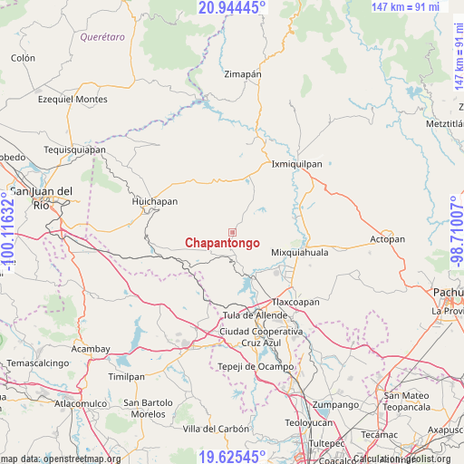
Chapantongo GPS coordinates[2]
20° 17' 10.86" North, 99° 24' 47.484" West
| Map corner | latitude | longitude |
|---|---|---|
| Upper-left | 20.94445°, | -100.11632° |
| Center: | 20.28635°, | -99.41319° |
| Lower-right: | 19.62545°, | -98.71007° |
| Map W x H: | 146.7×146.7 km | = 91.2×91.2mi |
| max Lat: | 32.7° ⇑36.7% North |
| Chapantongo: | 20.28635° |
| min Lat: | ⇓63.3% South 14.53588° |
| min Long | Chapantongo | max Long |
| -117.105° | -99.41319° | -86.73105° |
| W 44.2%⇐ | ⇒55.8% E |
Elevation
Elevation of Chapantongo is 2125 m = 6972 ft, and this is 871.3 m = 2859 ft above average elevation for this country.
| Max E: |
3497 m = 11473 ft | 20.6% |
| Chapantongo | 2125 m 6972 ft | |
| Avg. | 1253.7 m = 4113 ft | |
Min E: |
-1 m = -3 ft | 79.4% |
See also: Mexico elevation on elevation.city.
Geographical zone
Chapantongo is located in North Torrid zone (between Equator and Tropic of Cancer). Distance of this Northern Tropic circle is 350.3 km =217.7 mi to North.| Distance of | km | miles | from Chapantongo |
|---|---|---|---|
| North Pole | 7751.4 | 4816.5 | to North |
| Arctic Circle | 5145.5 | 3197.3 | to North |
| Tropic Cancer | 350.3 | 217.7 | to North |
| Equator | 2255.6 | 1401.6 | to South |


Nearby cities:
15 places around Chapantongo: (largest is in red/bold)
• Alfajayucan
15.1 km =9.4 mi,  26°
26°
• Boxtho
12.8 km =8 mi,  21°
21°
• Colonia Ampliación (Segunda Manzana)
11.8 km =7.3 mi,  158°
158°
• Colonia Huitexcalco
14.4 km =8.9 mi,  99°
99°
• José María Pino Suárez
4.4 km =2.7 mi,  190°
190°
• La Cuarta Manzana
11.6 km =7.2 mi,  167°
167°
• La Loma
13.5 km =8.4 mi, 164°
• Pino Suárez
4.6 km =2.9 mi, 190°
• San Bartolo Ozocalpan
10.6 km =6.6 mi,  228°
228°
• San Juan El Sabino
6.2 km =3.9 mi,  39°
39°
• San Pablo Oxtotipan
7.1 km =4.4 mi, 31°
• Tenango
14.4 km =8.9 mi,  117°
117°
• Tepeitic
13.7 km =8.5 mi,  111°
111°
• Tepetitlan
11.5 km =7.1 mi, 162°
• Zimapantongo
6.8 km =4.2 mi,  220°
220°
Sources, notices
• [Note1] Compared only with cities in Mexico existing in our database
• [Src1] Map data: © OpenStreetMap contributors (CC-BY-SA)
• [Src2] Other city data from geonames.org with taken over terms of usage.
• [Src3] Geographical zone / Annual Mean Temperature by Robert A. Rohde @ Wikipedia
