Barra de Palmas geodata
Barra de Palmas (Veracruz) is a populated place; located in Mexico in America/Mexico_City (GMT-6) time zone. With population of 558 people, there are 15286 cities with bigger population in this country. Compared to other cities in Mexico, 60.5% of cities are located further ↓South; 78.1% of cities are located further ←West and 98.1% of cities have higher elevation than Barra de Palmas. Note1


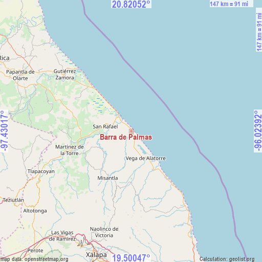
Barra de Palmas GPS coordinates[2]
20° 9' 42.804" North, 96° 43' 37.344" West
| Map corner | latitude | longitude |
|---|---|---|
| Upper-left | 20.82052°, | -97.43017° |
| Center: | 20.16189°, | -96.72704° |
| Lower-right: | 19.50047°, | -96.02392° |
| Map W x H: | 146.8×146.8 km | = 91.2×91.2mi |
| max Lat: | 32.7° ⇑39.5% North |
| Barra de Palmas: | 20.16189° |
| min Lat: | ⇓60.5% South 14.53588° |
| min Long | Barra de Palmas | max Long |
| -117.105° | -96.72704° | -86.73105° |
| W 78.1%⇐ | ⇒21.9% E |
Elevation
Elevation of Barra de Palmas is 8 m = 26 ft, and this is 1245.7 m = 4087 ft below average elevation for this country.
| Max E: |
3497 m = 11473 ft | 98.1% |
| Avg. | 1253.7 m = 4113 ft | |
| Barra de Palmas | 8 m = 26 ft | |
Min E: |
-1 m = -3 ft | 1.9% |
See also: Mexico elevation on elevation.city.
Geographical zone
Barra de Palmas is located in North Torrid zone (between Equator and Tropic of Cancer). Distance of this Northern Tropic circle is 364.1 km =226.2 mi to North.| Distance of | km | miles | from Barra de Palmas |
|---|---|---|---|
| North Pole | 7765.3 | 4825.1 | to North |
| Arctic Circle | 5159.4 | 3205.9 | to North |
| Tropic Cancer | 364.1 | 226.2 | to North |
| Equator | 2241.8 | 1393 | to South |


Nearby cities:
15 places around Barra de Palmas: (largest is in red/bold)
• Casitas
13 km =8.1 mi,  323°
323°
• Cementeras del Pital
17.7 km =11 mi,  275°
275°
• El Ciervo
15.8 km =9.8 mi,  198°
198°
• El Guayabal
15.4 km =9.6 mi,  273°
273°
• El Pital
17.9 km =11.1 mi, 268°
• Jicaltepec
12.8 km =8 mi, 273°
• La Isla de Chapachapa
16.8 km =10.4 mi,  254°
254°
• La Martinica
18.5 km =11.5 mi,  229°
229°
• Las Higueras
17.7 km =11 mi,  141°
141°
• Melchor Ocampo
10.9 km =6.8 mi,  291°
291°
• Monte Gordo
18.5 km =11.5 mi, 321°
• Nautla
7 km =4.3 mi, 316°
• Puntilla Aldama
19 km =11.8 mi, 279°
• San Rafael
14.9 km =9.3 mi, 281°
• Vega de Alatorre
17 km =10.6 mi,  150°
150°
Sources, notices
• [Note1] Compared only with cities in Mexico existing in our database
• [Src1] Map data: © OpenStreetMap contributors (CC-BY-SA)
• [Src2] Other city data from geonames.org with taken over terms of usage.
• [Src3] Geographical zone / Annual Mean Temperature by Robert A. Rohde @ Wikipedia
