Cacalotepec geodata
Cacalotepec (Oaxaca) is a populated place; located in Mexico in America/Mexico_City (GMT-6) time zone. With population of 791 people, there are 11037 cities with bigger population in this country. Compared to other cities in Mexico, 88.4% of cities are located further ↑North; 82.3% of cities are located further ←West and 75.7% of cities have lower elevation than Cacalotepec. Note1


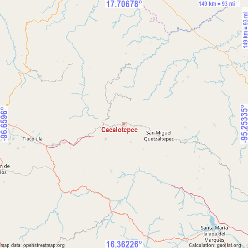
Cacalotepec GPS coordinates[2]
17° 2' 8.628" North, 95° 57' 23.292" West
| Map corner | latitude | longitude |
|---|---|---|
| Upper-left | 17.70678°, | -96.6596° |
| Center: | 17.03573°, | -95.95647° |
| Lower-right: | 16.36226°, | -95.25335° |
| Map W x H: | 149.5×149.5 km | = 92.9×92.9mi |
| max Lat: | 32.7° ⇑88.4% North |
| Cacalotepec: | 17.03573° |
| min Lat: | ⇓11.6% South 14.53588° |
| min Long | Cacalotepec | max Long |
| -117.105° | -95.95647° | -86.73105° |
| W 82.3%⇐ | ⇒17.7% E |
Elevation
Elevation of Cacalotepec is 2043 m = 6703 ft, and this is 789.3 m = 2590 ft above average elevation for this country.
| Max E: |
3497 m = 11473 ft | 24.3% |
| Cacalotepec | 2043 m 6703 ft | |
| Avg. | 1253.7 m = 4113 ft | |
Min E: |
-1 m = -3 ft | 75.7% |
See also: Mexico elevation on elevation.city.
Geographical zone
Cacalotepec is located in North Torrid zone (between Equator and Tropic of Cancer). Distance of this Northern Tropic circle is 711.7 km =442.2 mi to North.| Distance of | km | miles | from Cacalotepec |
|---|---|---|---|
| North Pole | 8112.9 | 5041.1 | to North |
| Arctic Circle | 5507 | 3421.9 | to North |
| Tropic Cancer | 711.7 | 442.2 | to North |
| Equator | 1894.2 | 1177 | to South |


Nearby cities:
15 places around Cacalotepec: (largest is in red/bold)
• Cerro Moneda
4.7 km =2.9 mi,  121°
121°
• Estancia de Morelos
7.3 km =4.5 mi,  76°
76°
• Guadalupe Victoria
9.1 km =5.7 mi,  294°
294°
• Las Peñas
8.6 km =5.3 mi,  240°
240°
• Linda Vista
4.4 km =2.7 mi,  249°
249°
• San Juan Juquila
11.8 km =7.3 mi,  160°
160°
• San Pedro Ayacaxtepec
12.3 km =7.6 mi,  41°
41°
• Santa Ana
12.4 km =7.7 mi,  302°
302°
• Santa María Alotepec
12.6 km =7.8 mi,  59°
59°
• Santa María Tepantlali
7.1 km =4.4 mi,  232°
232°
• Santiago Altitlán
7.7 km =4.8 mi,  8°
8°
• Tamazulapam
11.8 km =7.3 mi,  280°
280°
• Tamazulápam del Espíritu Santo
11.8 km =7.3 mi, 280°
• Tierra Blanca
9.7 km =6 mi,  264°
264°
• Xambao (Colonia Revolución)
8.7 km =5.4 mi,  206°
206°
Sources, notices
• [Note1] Compared only with cities in Mexico existing in our database
• [Src1] Map data: © OpenStreetMap contributors (CC-BY-SA)
• [Src2] Other city data from geonames.org with taken over terms of usage.
• [Src3] Geographical zone / Annual Mean Temperature by Robert A. Rohde @ Wikipedia
