Acatepec geodata
Acatepec (Guerrero) is a populated place; located in Mexico in America/Mexico_City (GMT-6) time zone. With population of 3,296 people, there are 2757 cities with bigger population in this country. Compared to other cities in Mexico, 92.4% of cities are located further ↑North; 58.3% of cities are located further ←West and 66.2% of cities have higher elevation than Acatepec. Note1


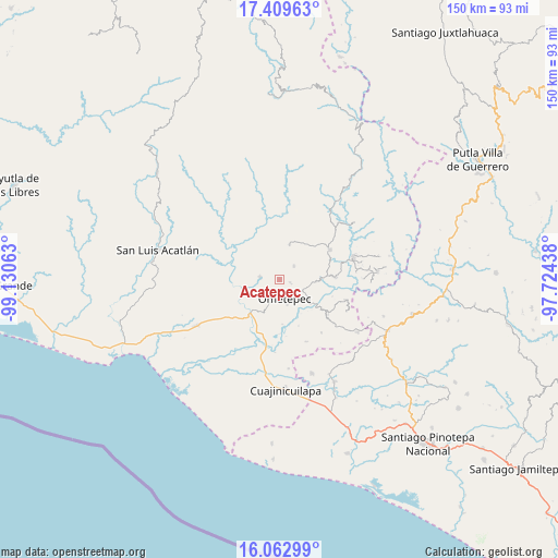
Acatepec GPS coordinates[2]
16° 44' 15" North, 98° 25' 39" West
| Map corner | latitude | longitude |
|---|---|---|
| Upper-left | 17.40963°, | -99.13063° |
| Center: | 16.7375°, | -98.4275° |
| Lower-right: | 16.06299°, | -97.72438° |
| Map W x H: | 149.7×149.7 km | = 93×93mi |
| max Lat: | 32.7° ⇑92.4% North |
| Acatepec: | 16.7375° |
| min Lat: | ⇓7.6% South 14.53588° |
| min Long | Acatepec | max Long |
| -117.105° | -98.4275° | -86.73105° |
| W 58.3%⇐ | ⇒41.7% E |
Elevation
Elevation of Acatepec is 628 m = 2060 ft, and this is 625.7 m = 2053 ft below average elevation for this country.
| Max E: |
3497 m = 11473 ft | 66.2% |
| Avg. | 1253.7 m = 4113 ft | |
| Acatepec | 628 m = 2060 ft | |
Min E: |
-1 m = -3 ft | 33.8% |
See also: Mexico elevation on elevation.city.
Geographical zone
Acatepec is located in North Torrid zone (between Equator and Tropic of Cancer). Distance of this Northern Tropic circle is 744.9 km =462.9 mi to North.| Distance of | km | miles | from Acatepec |
|---|---|---|---|
| North Pole | 8146 | 5061.7 | to North |
| Arctic Circle | 5540.1 | 3442.5 | to North |
| Tropic Cancer | 744.9 | 462.9 | to North |
| Equator | 1861 | 1156.4 | to South |


Nearby cities:
15 places around Acatepec: (largest is in red/bold)
• Acalmani
12.1 km =7.5 mi,  316°
316°
• Chacalapa
8.4 km =5.2 mi,  337°
337°
• Cochoapa
6.2 km =3.9 mi,  106°
106°
• Cruz de Corazón
5.2 km =3.2 mi,  197°
197°
• Cumbre de Barranca Honda
9.7 km =6 mi,  93°
93°
• Igualapa
5.3 km =3.3 mi,  279°
279°
• La Soledad
2.7 km =1.7 mi,  103°
103°
• Las Vigas
7.4 km =4.6 mi, 204°
• Llano Grande de los Hilarios
2.8 km =1.7 mi,  333°
333°
• Ometepec
5.7 km =3.5 mi,  158°
158°
• Quetzalapa
9.6 km =6 mi,  303°
303°
• San Cristóbal
9.8 km =6.1 mi,  15°
15°
• San Juan de los Llanos
11.9 km =7.4 mi,  220°
220°
• Santa María
5.3 km =3.3 mi,  46°
46°
• Villa Hidalgo
3.4 km =2.1 mi, 111°
Sources, notices
• [Note1] Compared only with cities in Mexico existing in our database
• [Src1] Map data: © OpenStreetMap contributors (CC-BY-SA)
• [Src2] Other city data from geonames.org with taken over terms of usage.
• [Src3] Geographical zone / Annual Mean Temperature by Robert A. Rohde @ Wikipedia
