Cerro La Calera geodata
Cerro La Calera (State of Mexico) is a populated place; located in Mexico in America/Mexico_City (GMT-6) time zone. With population of 3,740 people, there are 2457 cities with bigger population in this country. Compared to other cities in Mexico, 61.5% of cities are located further ↑North; 61.7% of cities are located further →East and 100% of cities have lower elevation than Cerro La Calera. Note1


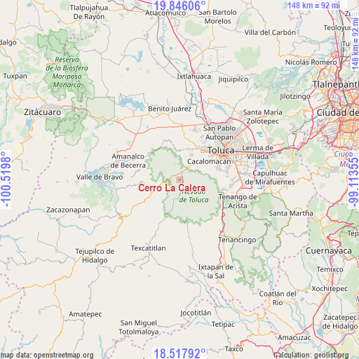
Cerro La Calera GPS coordinates[2]
19° 10' 59.988" North, 99° 49' 0.012" West
| Map corner | latitude | longitude |
|---|---|---|
| Upper-left | 19.84606°, | -100.5198° |
| Center: | 19.18333°, | -99.81667° |
| Lower-right: | 18.51792°, | -99.11355° |
| Map W x H: | 147.7×147.7 km | = 91.8×91.8mi |
| max Lat: | 32.7° ⇑61.5% North |
| Cerro La Calera: | 19.18333° |
| min Lat: | ⇓38.5% South 14.53588° |
| min Long | Cerro La Calera | max Long |
| -117.105° | -99.81667° | -86.73105° |
| W 38.3%⇐ | ⇒61.7% E |
Elevation
Elevation of Cerro La Calera is 3387 m = 11112 ft, and this is 2133.3 m = 6999 ft above average elevation for this country.
| Max E: |
3497 m = 11473 ft | 0% |
| Cerro La Calera | 3387 m 11112 ft | |
| Avg. | 1253.7 m = 4113 ft | |
Min E: |
-1 m = -3 ft | 100% |
See also: Mexico elevation on elevation.city.
Geographical zone
Cerro La Calera is located in North Torrid zone (between Equator and Tropic of Cancer). Distance of this Northern Tropic circle is 472.9 km =293.8 mi to North.| Distance of | km | miles | from Cerro La Calera |
|---|---|---|---|
| North Pole | 7874.1 | 4892.7 | to North |
| Arctic Circle | 5268.2 | 3273.5 | to North |
| Tropic Cancer | 472.9 | 293.8 | to North |
| Equator | 2133 | 1325.4 | to South |


Nearby cities:
15 places around Cerro La Calera: (largest is in red/bold)
• Buenavista
2.6 km =1.6 mi,  340°
340°
• Ciendabajo (Hacienda de Abajo)
10.8 km =6.7 mi,  19°
19°
• Colonia Cuauhtémoc
7.8 km =4.8 mi, 15°
• Colonia Morelos
10.2 km =6.3 mi,  46°
46°
• El Contadero de Matamoros
6 km =3.7 mi,  6°
6°
• La Peñuela
4.6 km =2.9 mi,  237°
237°
• Loma Alta
1.6 km =1 mi,  140°
140°
• Ojo de Agua
6.1 km =3.8 mi, 52°
• Raíces
2.7 km =1.7 mi,  153°
153°
• Recibitas (El Remolino)
8.2 km =5.1 mi, 47°
• San Francisco Oxtotilpan
9.2 km =5.7 mi,  260°
260°
• San Juan de las Huertas
9.4 km =5.8 mi,  40°
40°
• San Miguel Oxtotilpan
9.4 km =5.8 mi, 242°
• San Pedro Tejalpa
8.7 km =5.4 mi, 17°
• Tejalpa
9.3 km =5.8 mi, 35°
Sources, notices
• [Note1] Compared only with cities in Mexico existing in our database
• [Src1] Map data: © OpenStreetMap contributors (CC-BY-SA)
• [Src2] Other city data from geonames.org with taken over terms of usage.
• [Src3] Geographical zone / Annual Mean Temperature by Robert A. Rohde @ Wikipedia
