El Saltillo geodata
El Saltillo (State of Mexico) is a populated place; located in Mexico in America/Mexico_City (GMT-6) time zone. With population of 765 people, there are 11448 cities with bigger population in this country. Compared to other cities in Mexico, 57.4% of cities are located further ↓South; 60% of cities are located further →East and 96.8% of cities have lower elevation than El Saltillo. Note1


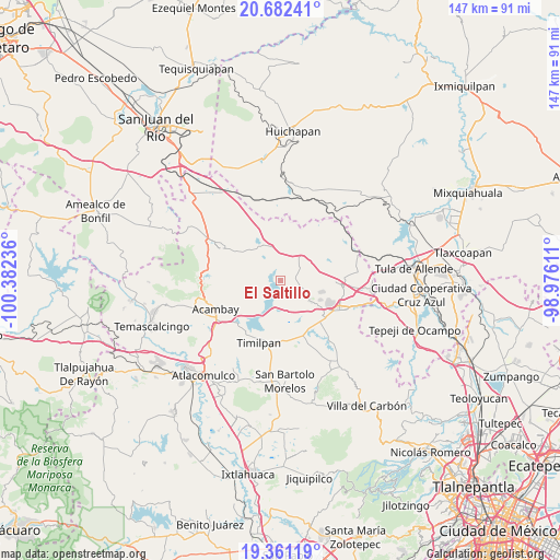
El Saltillo GPS coordinates[2]
20° 1' 23.484" North, 99° 40' 45.228" West
| Map corner | latitude | longitude |
|---|---|---|
| Upper-left | 20.68241°, | -100.38236° |
| Center: | 20.02319°, | -99.67923° |
| Lower-right: | 19.36119°, | -98.97611° |
| Map W x H: | 146.9×146.9 km | = 91.3×91.3mi |
| max Lat: | 32.7° ⇑42.6% North |
| El Saltillo: | 20.02319° |
| min Lat: | ⇓57.4% South 14.53588° |
| min Long | El Saltillo | max Long |
| -117.105° | -99.67923° | -86.73105° |
| W 40%⇐ | ⇒60% E |
Elevation
Elevation of El Saltillo is 2669 m = 8757 ft, and this is 1415.3 m = 4643 ft above average elevation for this country.
| Max E: |
3497 m = 11473 ft | 3.2% |
| El Saltillo | 2669 m 8757 ft | |
| Avg. | 1253.7 m = 4113 ft | |
Min E: |
-1 m = -3 ft | 96.8% |
See also: Mexico elevation on elevation.city.
Geographical zone
El Saltillo is located in North Torrid zone (between Equator and Tropic of Cancer). Distance of this Northern Tropic circle is 379.5 km =235.8 mi to North.| Distance of | km | miles | from El Saltillo |
|---|---|---|---|
| North Pole | 7780.7 | 4834.7 | to North |
| Arctic Circle | 5174.8 | 3215.5 | to North |
| Tropic Cancer | 379.5 | 235.8 | to North |
| Equator | 2226.4 | 1383.4 | to South |


Nearby cities:
15 places around El Saltillo: (largest is in red/bold)
• Canalejas
9.2 km =5.7 mi,  122°
122°
• El Barrete
8.6 km =5.3 mi,  131°
131°
• El Bonxhi
8.6 km =5.3 mi,  312°
312°
• El Rincón
7.9 km =4.9 mi,  158°
158°
• El Rosal
8.7 km =5.4 mi,  355°
355°
• Huapango
5.3 km =3.3 mi,  186°
186°
• Las Arenas (San Agustín)
6.4 km =4 mi,  235°
235°
• Los Pilares
4.6 km =2.9 mi,  245°
245°
• Magueycitos
9.7 km =6 mi,  149°
149°
• San Antonio Arroyo Zarco
9.3 km =5.8 mi,  321°
321°
• San Martín Ejido
5.6 km =3.5 mi,  344°
344°
• San Martín Tuchicuitlapilco
8.6 km =5.3 mi,  23°
23°
• San Vicente (Calpulalpan Tercera Manzana)
4.2 km =2.6 mi,  68°
68°
• Tecolapan
9.6 km =6 mi,  46°
46°
• Teupan (Piedras Negras)
9.5 km =5.9 mi, 191°
Sources, notices
• [Note1] Compared only with cities in Mexico existing in our database
• [Src1] Map data: © OpenStreetMap contributors (CC-BY-SA)
• [Src2] Other city data from geonames.org with taken over terms of usage.
• [Src3] Geographical zone / Annual Mean Temperature by Robert A. Rohde @ Wikipedia
