El Bonxhi geodata
El Bonxhi (State of Mexico) is a populated place; located in Mexico in America/Mexico_City (GMT-6) time zone. With population of 688 people, there are 12631 cities with bigger population in this country. Compared to other cities in Mexico, 58.7% of cities are located further ↓South; 60.7% of cities are located further →East and 95.9% of cities have lower elevation than El Bonxhi. Note1


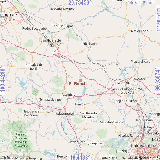
El Bonxhi GPS coordinates[2]
20° 4' 32.088" North, 99° 44' 23.496" West
| Map corner | latitude | longitude |
|---|---|---|
| Upper-left | 20.73458°, | -100.44299° |
| Center: | 20.07558°, | -99.73986° |
| Lower-right: | 19.4138°, | -99.03674° |
| Map W x H: | 146.9×146.9 km | = 91.3×91.3mi |
| max Lat: | 32.7° ⇑41.3% North |
| El Bonxhi: | 20.07558° |
| min Lat: | ⇓58.7% South 14.53588° |
| min Long | El Bonxhi | max Long |
| -117.105° | -99.73986° | -86.73105° |
| W 39.3%⇐ | ⇒60.7% E |
Elevation
Elevation of El Bonxhi is 2620 m = 8596 ft, and this is 1366.3 m = 4483 ft above average elevation for this country.
| Max E: |
3497 m = 11473 ft | 4.1% |
| El Bonxhi | 2620 m 8596 ft | |
| Avg. | 1253.7 m = 4113 ft | |
Min E: |
-1 m = -3 ft | 95.9% |
See also: Mexico elevation on elevation.city.
Geographical zone
El Bonxhi is located in North Torrid zone (between Equator and Tropic of Cancer). Distance of this Northern Tropic circle is 373.7 km =232.2 mi to North.| Distance of | km | miles | from El Bonxhi |
|---|---|---|---|
| North Pole | 7774.9 | 4831.1 | to North |
| Arctic Circle | 5169 | 3211.9 | to North |
| Tropic Cancer | 373.7 | 232.2 | to North |
| Equator | 2232.2 | 1387 | to South |


Nearby cities:
15 places around El Bonxhi: (largest is in red/bold)
• Aculco de Espinoza
9.5 km =5.9 mi,  285°
285°
• Buenavista
9.6 km =6 mi,  218°
218°
• El Colorado
3.3 km =2.1 mi,  314°
314°
• El Rosal
6.3 km =3.9 mi,  63°
63°
• El Saltillo
8.6 km =5.3 mi,  132°
132°
• Fondo
3.2 km =2 mi,  236°
236°
• Gunyo Oriente
9.2 km =5.7 mi,  300°
300°
• La Soledad Barrio
8.9 km =5.5 mi,  281°
281°
• Las Arenas (San Agustín)
9.5 km =5.9 mi,  173°
173°
• Las Lajas
3.6 km =2.2 mi,  341°
341°
• Los Pilares
8 km =5 mi,  164°
164°
• San Antonio Arroyo Zarco
1.6 km =1 mi,  20°
20°
• San Martín Ejido
4.8 km =3 mi,  95°
95°
• San Martín Tuchicuitlapilco
9.9 km =6.2 mi,  78°
78°
• Santa María Nativitas
6.4 km =4 mi, 286°
Sources, notices
• [Note1] Compared only with cities in Mexico existing in our database
• [Src1] Map data: © OpenStreetMap contributors (CC-BY-SA)
• [Src2] Other city data from geonames.org with taken over terms of usage.
• [Src3] Geographical zone / Annual Mean Temperature by Robert A. Rohde @ Wikipedia
