Bethania geodata
Bethania (Campeche) is a populated place; located in Mexico in America/Merida (GMT-6) time zone. With population of 984 people, there are 8839 cities with bigger population in this country. Compared to other cities in Mexico, 55.2% of cities are located further ↓South; 97.3% of cities are located further ←West and 98.7% of cities have higher elevation than Bethania. Note1


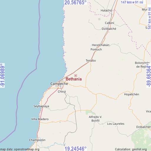
Bethania GPS coordinates[2]
19° 54' 28.584" North, 90° 22' 0.336" West
| Map corner | latitude | longitude |
|---|---|---|
| Upper-left | 20.56765°, | -91.06989° |
| Center: | 19.90794°, | -90.36676° |
| Lower-right: | 19.24546°, | -89.66364° |
| Map W x H: | 147×147 km | = 91.3×91.3mi |
| max Lat: | 32.7° ⇑44.8% North |
| Bethania: | 19.90794° |
| min Lat: | ⇓55.2% South 14.53588° |
| min Long | Bethania | max Long |
| -117.105° | -90.36676° | -86.73105° |
| W 97.3%⇐ | ⇒2.7% E |
Elevation
Elevation of Bethania is 7 m = 23 ft, and this is 1246.7 m = 4090 ft below average elevation for this country.
| Max E: |
3497 m = 11473 ft | 98.7% |
| Avg. | 1253.7 m = 4113 ft | |
| Bethania | 7 m = 23 ft | |
Min E: |
-1 m = -3 ft | 1.3% |
See also: Mexico elevation on elevation.city.
Geographical zone
Bethania is located in North Torrid zone (between Equator and Tropic of Cancer). Distance of this Northern Tropic circle is 392.4 km =243.8 mi to North.| Distance of | km | miles | from Bethania |
|---|---|---|---|
| North Pole | 7793.5 | 4842.7 | to North |
| Arctic Circle | 5187.6 | 3223.4 | to North |
| Tropic Cancer | 392.4 | 243.8 | to North |
| Equator | 2213.6 | 1375.5 | to South |


Nearby cities:
15 places around Bethania: (largest is in red/bold)
• Campeche
18.1 km =11.2 mi,  246°
246°
• Castamay
10.3 km =6.4 mi,  221°
221°
• Chemblás
1.8 km =1.1 mi,  40°
40°
• Chiná
20.4 km =12.7 mi, 221°
• Hampolol
3.2 km =2 mi,  312°
312°
• Hecelchakán
38.6 km =24 mi, 39°
• Lerma
27.1 km =16.8 mi,  244°
244°
• Nilchí
12.1 km =7.5 mi,  124°
124°
• Nohakal
28.4 km =17.6 mi,  173°
173°
• Pocyaxum
20 km =12.4 mi,  175°
175°
• Pomuch
32.4 km =20.1 mi, 38°
• San Francisco Kobén
5.3 km =3.3 mi,  278°
278°
• Tenabo
20.8 km =12.9 mi,  45°
45°
• Tikinmul
21.8 km =13.5 mi,  136°
136°
• Tinún
16 km =9.9 mi,  66°
66°
Sources, notices
• [Note1] Compared only with cities in Mexico existing in our database
• [Src1] Map data: © OpenStreetMap contributors (CC-BY-SA)
• [Src2] Other city data from geonames.org with taken over terms of usage.
• [Src3] Geographical zone / Annual Mean Temperature by Robert A. Rohde @ Wikipedia
