Ocoyotepec (Ocoyotepec Centro) geodata
Ocoyotepec (Ocoyotepec Centro) (State of Mexico) is a populated place; located in Mexico in America/Mexico_City (GMT-6) time zone. With population of 700 people, there are 12436 cities with bigger population in this country. Compared to other cities in Mexico, 54.1% of cities are located further ↑North; 62% of cities are located further →East and 97.6% of cities have lower elevation than Ocoyotepec (Ocoyotepec Centro). Note1
Current local time in Ocoyotepec (Ocoyotepec Centro):
10:22 AM, MondayDifference from your time zone: hours


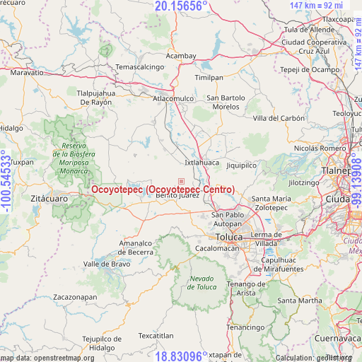
Ocoyotepec (Ocoyotepec Centro) GPS coordinates[2]
19° 29' 42.432" North, 99° 50' 31.92" West
| Map corner | latitude | longitude |
|---|---|---|
| Upper-left | 20.15656°, | -100.54533° |
| Center: | 19.49512°, | -99.8422° |
| Lower-right: | 18.83096°, | -99.13908° |
| Map W x H: | 147.4×147.4 km | = 91.6×91.6mi |
| max Lat: | 32.7° ⇑54.1% North |
| Ocoyotepec (Ocoyotepec Centro): | 19.49512° |
| min Lat: | ⇓45.9% South 14.53588° |
| min Long | Ocoyotepec (Oco | max Long |
| -117.105° | -99.8422° | -86.73105° |
| W 38%⇐ | ⇒62% E |
Elevation
Elevation of Ocoyotepec (Ocoyotepec Centro) is 2720 m = 8924 ft, and this is 1466.3 m = 4811 ft above average elevation for this country.
| Max E: |
3497 m = 11473 ft | 2.4% |
| Ocoyotepec (Ocoyotepec Centro) | 2720 m 8924 ft | |
| Avg. | 1253.7 m = 4113 ft | |
Min E: |
-1 m = -3 ft | 97.6% |
See also: Mexico elevation on elevation.city.
Geographical zone
Ocoyotepec (Ocoyotepec Centro) is located in North Torrid zone (between Equator and Tropic of Cancer). Distance of this Northern Tropic circle is 438.3 km =272.3 mi to North.| Distance of | km | miles | from Ocoyotepec (Ocoyotepec Centro) |
|---|---|---|---|
| North Pole | 7839.4 | 4871.2 | to North |
| Arctic Circle | 5233.5 | 3251.9 | to North |
| Tropic Cancer | 438.3 | 272.3 | to North |
| Equator | 2167.7 | 1346.9 | to South |


Nearby cities:
15 places around Ocoyotepec (Ocoyotepec Centro): (largest is in red/bold)
• Barrio del Carmen
6.9 km =4.3 mi,  135°
135°
• Benito Juárez
6.5 km =4 mi,  190°
190°
• Casa Nueva (Casa Nueva Yebuciví)
7.8 km =4.8 mi,  266°
266°
• El Rincón de los Perales
5.4 km =3.4 mi,  15°
15°
• La Concepción Enyege
7.7 km =4.8 mi,  0°
0°
• Laguna de Tabernillas (El Resbaloso)
5.3 km =3.3 mi,  225°
225°
• Loma del Jacal (Loma de las Mangas)
4.4 km =2.7 mi, 230°
• Loma del Salitre (Colonia Loma del Salitre)
4.6 km =2.9 mi,  176°
176°
• Mextepec
6.4 km =4 mi, 233°
• Salitrillo
6.9 km =4.3 mi, 186°
• San Agustín Citlali
4.5 km =2.8 mi,  111°
111°
• San Agustín las Tablas
4.8 km =3 mi,  161°
161°
• San Antonio Atotonilco
7.6 km =4.7 mi,  116°
116°
• San Juan de las Manzanas
6.2 km =3.9 mi, 3°
• Sitio Ejido
7.7 km =4.8 mi, 232°
Sources, notices
• [Note1] Compared only with cities in Mexico existing in our database
• [Src1] Map data: © OpenStreetMap contributors (CC-BY-SA)
• [Src2] Other city data from geonames.org with taken over terms of usage.
• [Src3] Geographical zone / Annual Mean Temperature by Robert A. Rohde @ Wikipedia
