Suspiro Picacho geodata
Suspiro Picacho (San Luis Potosí) is a populated place; located in Mexico in America/Mexico_City (GMT-6) time zone. With population of 1,479 people, there are 5833 cities with bigger population in this country. Compared to other cities in Mexico, 85.2% of cities are located further ↓South; 74.1% of cities are located further →East and 72.7% of cities have lower elevation than Suspiro Picacho. Note1


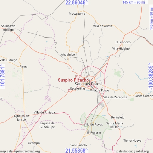
Suspiro Picacho GPS coordinates[2]
22° 12' 39.708" North, 101° 5' 9.492" West
| Map corner | latitude | longitude |
|---|---|---|
| Upper-left | 22.86046°, | -101.7891° |
| Center: | 22.21103°, | -101.08597° |
| Lower-right: | 21.55858°, | -100.38285° |
| Map W x H: | 144.8×144.8 km | = 90×90mi |
| max Lat: | 32.7° ⇑14.8% North |
| Suspiro Picacho: | 22.21103° |
| min Lat: | ⇓85.2% South 14.53588° |
| min Long | Suspiro Picacho | max Long |
| -117.105° | -101.08597° | -86.73105° |
| W 25.9%⇐ | ⇒74.1% E |
Elevation
Elevation of Suspiro Picacho is 1981 m = 6499 ft, and this is 727.3 m = 2386 ft above average elevation for this country.
| Max E: |
3497 m = 11473 ft | 27.3% |
| Suspiro Picacho | 1981 m 6499 ft | |
| Avg. | 1253.7 m = 4113 ft | |
Min E: |
-1 m = -3 ft | 72.7% |
See also: Mexico elevation on elevation.city.
Geographical zone
Suspiro Picacho is located in North Torrid zone (between Equator and Tropic of Cancer). Distance of this Northern Tropic circle is 136.3 km =84.7 mi to North.| Distance of | km | miles | from Suspiro Picacho |
|---|---|---|---|
| North Pole | 7537.4 | 4683.5 | to North |
| Arctic Circle | 4931.5 | 3064.3 | to North |
| Tropic Cancer | 136.3 | 84.7 | to North |
| Equator | 2469.6 | 1534.5 | to South |


Nearby cities:
15 places around Suspiro Picacho: (largest is in red/bold)
• Agua Señora
5.4 km =3.4 mi,  56°
56°
• Capulines
5.3 km =3.3 mi,  136°
136°
• Cerrito de Jaral
2.8 km =1.7 mi, 59°
• El Jaralito
4 km =2.5 mi,  108°
108°
• Guadalupe Victoria
5.6 km =3.5 mi,  162°
162°
• La Campana
3.2 km =2 mi,  350°
350°
• La Loma
3.7 km =2.3 mi,  85°
85°
• Las Moras
6.1 km =3.8 mi,  5°
5°
• Los Retes
4.8 km =3 mi,  27°
27°
• Matancillas
7.1 km =4.4 mi, 26°
• Mexquitic de Carmona
6.7 km =4.2 mi,  335°
335°
• Milpillas
6.4 km =4 mi,  315°
315°
• Monte Obscuro
6 km =3.7 mi,  80°
80°
• Paisanos
5.2 km =3.2 mi,  99°
99°
• Paso Blanco
1.7 km =1.1 mi, 109°
Sources, notices
• [Note1] Compared only with cities in Mexico existing in our database
• [Src1] Map data: © OpenStreetMap contributors (CC-BY-SA)
• [Src2] Other city data from geonames.org with taken over terms of usage.
• [Src3] Geographical zone / Annual Mean Temperature by Robert A. Rohde @ Wikipedia
