Zacualpan geodata
Zacualpan (Nayarit) is a populated place; located in Mexico in America/Mazatlan (GMT-7) time zone. With population of 4,893 people, there are 1889 cities with bigger population in this country. Compared to other cities in Mexico, 79.6% of cities are located further ↓South; 92.2% of cities are located further →East and 88.3% of cities have higher elevation than Zacualpan. Note1


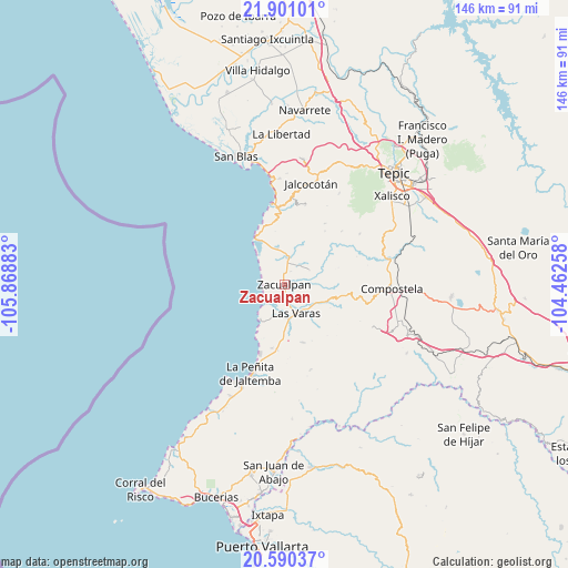
Zacualpan GPS coordinates[2]
21° 14' 49.74" North, 105° 9' 56.52" West
| Map corner | latitude | longitude |
|---|---|---|
| Upper-left | 21.90101°, | -105.86883° |
| Center: | 21.24715°, | -105.1657° |
| Lower-right: | 20.59037°, | -104.46258° |
| Map W x H: | 145.7×145.7 km | = 90.5×90.5mi |
| max Lat: | 32.7° ⇑20.4% North |
| Zacualpan: | 21.24715° |
| min Lat: | ⇓79.6% South 14.53588° |
| min Long | Zacualpan | max Long |
| -117.105° | -105.1657° | -86.73105° |
| W 7.8%⇐ | ⇒92.2% E |
Elevation
Elevation of Zacualpan is 29 m = 95 ft, and this is 1224.7 m = 4018 ft below average elevation for this country.
| Max E: |
3497 m = 11473 ft | 88.3% |
| Avg. | 1253.7 m = 4113 ft | |
| Zacualpan | 29 m = 95 ft | |
Min E: |
-1 m = -3 ft | 11.7% |
See also: Mexico elevation on elevation.city.
Geographical zone
Zacualpan is located in North Torrid zone (between Equator and Tropic of Cancer). Distance of this Northern Tropic circle is 243.5 km =151.3 mi to North.| Distance of | km | miles | from Zacualpan |
|---|---|---|---|
| North Pole | 7644.6 | 4750.1 | to North |
| Arctic Circle | 5038.7 | 3130.9 | to North |
| Tropic Cancer | 243.5 | 151.3 | to North |
| Equator | 2362.5 | 1468 | to South |


Nearby cities:
15 places around Zacualpan: (largest is in red/bold)
• Aticama
26.5 km =16.5 mi,  352°
352°
• Cofradía de Chocolón
23.3 km =14.5 mi,  56°
56°
• Colonia Paraíso Escondido
22.8 km =14.2 mi,  199°
199°
• El Capomo
15.6 km =9.7 mi,  162°
162°
• El Llano
19.1 km =11.9 mi,  355°
355°
• El Malinal
20 km =12.4 mi,  46°
46°
• El Paranal (Arocha)
9.3 km =5.8 mi,  70°
70°
• Ixtapan de la Concepción
6.8 km =4.2 mi,  6°
6°
• La Peñita de Jaltomba
24.7 km =15.3 mi, 200°
• La Puerta de la Lima
16.9 km =10.5 mi,  185°
185°
• Las Piedras
9 km =5.6 mi,  124°
124°
• Las Varas
8.1 km =5 mi, 157°
• Lima de Abajo
16.5 km =10.3 mi, 191°
• Mazatán
25.1 km =15.6 mi, 116°
• Otates y Cantarranas
9.6 km =6 mi, 349°
Sources, notices
• [Note1] Compared only with cities in Mexico existing in our database
• [Src1] Map data: © OpenStreetMap contributors (CC-BY-SA)
• [Src2] Other city data from geonames.org with taken over terms of usage.
• [Src3] Geographical zone / Annual Mean Temperature by Robert A. Rohde @ Wikipedia
