Villa Unión geodata
Villa Unión (Durango) is a seat of a second-order administrative division; located in Mexico in America/Monterrey (GMT-6) time zone. With population of 10,753 people, there are 883 cities with bigger population in this country. Compared to other cities in Mexico, 89.9% of cities are located further ↓South; 90.1% of cities are located further →East and 68.9% of cities have lower elevation than Villa Unión. Note1


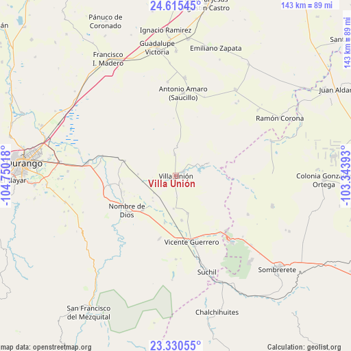
Villa Unión GPS coordinates[2]
23° 58' 28.56" North, 104° 2' 49.38" West
| Map corner | latitude | longitude |
|---|---|---|
| Upper-left | 24.61545°, | -104.75018° |
| Center: | 23.9746°, | -104.04705° |
| Lower-right: | 23.33055°, | -103.34393° |
| Map W x H: | 142.9×142.9 km | = 88.8×88.8mi |
| max Lat: | 32.7° ⇑10.1% North |
| Villa Unión: | 23.9746° |
| min Lat: | ⇓89.9% South 14.53588° |
| min Long | Villa Unión | max Long |
| -117.105° | -104.04705° | -86.73105° |
| W 9.9%⇐ | ⇒90.1% E |
Elevation
Elevation of Villa Unión is 1906 m = 6253 ft, and this is 652.3 m = 2140 ft above average elevation for this country.
| Max E: |
3497 m = 11473 ft | 31.1% |
| Villa Unión | 1906 m 6253 ft | |
| Avg. | 1253.7 m = 4113 ft | |
Min E: |
-1 m = -3 ft | 68.9% |
See also: Mexico elevation on elevation.city.
Geographical zone
Villa Unión is located in North temperate zone (between Tropic of Cancer and the Arctic Circle). Distance of this Northern Tropic circle is 59.8 km =37.2 mi to South.| Distance of | km | miles | from Villa Unión |
|---|---|---|---|
| North Pole | 7341.3 | 4561.7 | to North |
| Arctic Circle | 4735.4 | 2942.4 | to North |
| Tropic Cancer | 59.8 | 37.2 | to South |
| Equator | 2665.7 | 1656.4 | to South |


Nearby cities:
15 places around Villa Unión: (largest is in red/bold)
• Amado Nervo
20.2 km =12.6 mi,  224°
224°
• Cieneguillas
8.9 km =5.5 mi,  356°
356°
• Damián Carmona
9.4 km =5.8 mi,  246°
246°
• El Potosí
6.3 km =3.9 mi,  241°
241°
• Gabriel Hernández (Mancinas)
18.3 km =11.4 mi,  172°
172°
• La Joya
16 km =9.9 mi,  162°
162°
• La Ochoa
14.6 km =9.1 mi,  68°
68°
• Los Ángeles
9.2 km =5.7 mi, 247°
• Narciso Mendoza
9.3 km =5.8 mi,  62°
62°
• Orizaba
3.3 km =2.1 mi, 235°
• Rojas
13.4 km =8.3 mi,  183°
183°
• San Atenógenes (La Villita)
3.5 km =2.2 mi, 59°
• Santa Cruz de Guadalupe
19.1 km =11.9 mi, 224°
• Tuitán
21.7 km =13.5 mi,  286°
286°
• Veracruz
13.6 km =8.5 mi, 68°
Sources, notices
• [Note1] Compared only with cities in Mexico existing in our database
• [Src1] Map data: © OpenStreetMap contributors (CC-BY-SA)
• [Src2] Other city data from geonames.org with taken over terms of usage.
• [Src3] Geographical zone / Annual Mean Temperature by Robert A. Rohde @ Wikipedia
