Guadalupe de Tambula geodata
Guadalupe de Tambula (Guanajuato) is a populated place; located in Mexico in America/Mexico_City (GMT-6) time zone. With population of 1,056 people, there are 8262 cities with bigger population in this country. Compared to other cities in Mexico, 74.2% of cities are located further ↓South; 70.1% of cities are located further →East and 77.8% of cities have lower elevation than Guadalupe de Tambula. Note1


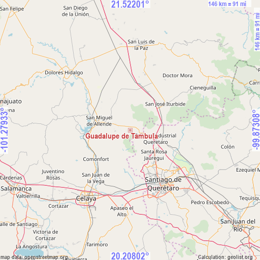
Guadalupe de Tambula GPS coordinates[2]
20° 51' 59.22" North, 100° 34' 34.32" West
| Map corner | latitude | longitude |
|---|---|---|
| Upper-left | 21.52201°, | -101.27933° |
| Center: | 20.86645°, | -100.5762° |
| Lower-right: | 20.20802°, | -99.87308° |
| Map W x H: | 146.1×146.1 km | = 90.8×90.8mi |
| max Lat: | 32.7° ⇑25.8% North |
| Guadalupe de Tambula: | 20.86645° |
| min Lat: | ⇓74.2% South 14.53588° |
| min Long | Guadalupe de Ta | max Long |
| -117.105° | -100.5762° | -86.73105° |
| W 29.9%⇐ | ⇒70.1% E |
Elevation
Elevation of Guadalupe de Tambula is 2085 m = 6841 ft, and this is 831.3 m = 2727 ft above average elevation for this country.
| Max E: |
3497 m = 11473 ft | 22.2% |
| Guadalupe de Tambula | 2085 m 6841 ft | |
| Avg. | 1253.7 m = 4113 ft | |
Min E: |
-1 m = -3 ft | 77.8% |
See also: Mexico elevation on elevation.city.
Geographical zone
Guadalupe de Tambula is located in North Torrid zone (between Equator and Tropic of Cancer). Distance of this Northern Tropic circle is 285.8 km =177.6 mi to North.| Distance of | km | miles | from Guadalupe de Tambula |
|---|---|---|---|
| North Pole | 7686.9 | 4776.4 | to North |
| Arctic Circle | 5081 | 3157.2 | to North |
| Tropic Cancer | 285.8 | 177.6 | to North |
| Equator | 2320.1 | 1441.6 | to South |


Nearby cities:
15 places around Guadalupe de Tambula: (largest is in red/bold)
• Buenavista
12 km =7.5 mi,  113°
113°
• Cañajo
10.7 km =6.6 mi,  284°
284°
• Cerritos
3.2 km =2 mi,  312°
312°
• Cerro de la Cruz
9.7 km =6 mi,  126°
126°
• Corralejo de Arriba
8.8 km =5.5 mi,  292°
292°
• La Barreta
8.4 km =5.2 mi,  120°
120°
• La Campana
10.5 km =6.5 mi,  239°
239°
• La Carbonera
10.1 km =6.3 mi, 132°
• La Monja
8.6 km =5.3 mi, 107°
• Laguna Escondida
7.6 km =4.7 mi,  336°
336°
• Moral de Puerto de Nieto
7.2 km =4.5 mi,  65°
65°
• Puente del Carmen
7.1 km =4.4 mi, 288°
• Puerto de Nieto
4.7 km =2.9 mi,  56°
56°
• San Antonio del Varal
6.3 km =3.9 mi,  2°
2°
• Santas Marías
3.4 km =2.1 mi, 70°
Sources, notices
• [Note1] Compared only with cities in Mexico existing in our database
• [Src1] Map data: © OpenStreetMap contributors (CC-BY-SA)
• [Src2] Other city data from geonames.org with taken over terms of usage.
• [Src3] Geographical zone / Annual Mean Temperature by Robert A. Rohde @ Wikipedia
