San Lucas geodata
San Lucas (Guanajuato) is a populated place; located in Mexico in America/Mexico_City (GMT-6) time zone. With population of 1,396 people, there are 6199 cities with bigger population in this country. Compared to other cities in Mexico, 63.4% of cities are located further ↓South; 70% of cities are located further →East and 77.2% of cities have lower elevation than San Lucas. Note1


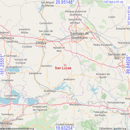
San Lucas GPS coordinates[2]
20° 17' 36.276" North, 100° 33' 8.568" West
| Map corner | latitude | longitude |
|---|---|---|
| Upper-left | 20.95148°, | -101.25551° |
| Center: | 20.29341°, | -100.55238° |
| Lower-right: | 19.63254°, | -99.84926° |
| Map W x H: | 146.7×146.7 km | = 91.2×91.2mi |
| max Lat: | 32.7° ⇑36.6% North |
| San Lucas: | 20.29341° |
| min Lat: | ⇓63.4% South 14.53588° |
| min Long | San Lucas | max Long |
| -117.105° | -100.55238° | -86.73105° |
| W 30%⇐ | ⇒70% E |
Elevation
Elevation of San Lucas is 2073 m = 6801 ft, and this is 819.3 m = 2688 ft above average elevation for this country.
| Max E: |
3497 m = 11473 ft | 22.8% |
| San Lucas | 2073 m 6801 ft | |
| Avg. | 1253.7 m = 4113 ft | |
Min E: |
-1 m = -3 ft | 77.2% |
See also: Mexico elevation on elevation.city.
Geographical zone
San Lucas is located in North Torrid zone (between Equator and Tropic of Cancer). Distance of this Northern Tropic circle is 349.5 km =217.2 mi to North.| Distance of | km | miles | from San Lucas |
|---|---|---|---|
| North Pole | 7750.6 | 4816 | to North |
| Arctic Circle | 5144.8 | 3196.8 | to North |
| Tropic Cancer | 349.5 | 217.2 | to North |
| Equator | 2256.4 | 1402.1 | to South |


Nearby cities:
15 places around San Lucas: (largest is in red/bold)
• Belén
8.8 km =5.5 mi,  20°
20°
• Candelas
11 km =6.8 mi,  78°
78°
• El Fresno
6.7 km =4.2 mi,  109°
109°
• El Pocito (El Pocito de la Virgen)
14.2 km =8.8 mi,  327°
327°
• El Tepozán
7.3 km =4.5 mi,  50°
50°
• Estanzuela de Romero
13.1 km =8.1 mi,  157°
157°
• Jiménez
3.5 km =2.2 mi,  6°
6°
• La Cuevita
5.7 km =3.5 mi, 331°
• Ojo de Agua de la Trinidad
13.9 km =8.6 mi,  323°
323°
• Piedras de Lumbre
6.8 km =4.2 mi,  226°
226°
• Salto de Peña
6.7 km =4.2 mi,  283°
283°
• San Isidro de Gamboa
11.6 km =7.2 mi, 13°
• San Pablo
9.9 km =6.2 mi,  169°
169°
• San Pedro de los Agustinos
7.7 km =4.8 mi,  193°
193°
• Santa Cruz de Gamboa
11.3 km =7 mi, 19°
Sources, notices
• [Note1] Compared only with cities in Mexico existing in our database
• [Src1] Map data: © OpenStreetMap contributors (CC-BY-SA)
• [Src2] Other city data from geonames.org with taken over terms of usage.
• [Src3] Geographical zone / Annual Mean Temperature by Robert A. Rohde @ Wikipedia
