San Ignacio geodata
San Ignacio (Nayarit) is a populated place; located in Mexico in America/Bahia_Banderas (GMT-6) time zone. With population of 610 people, there are 14138 cities with bigger population in this country. Compared to other cities in Mexico, 74% of cities are located further ↓South; 93.1% of cities are located further →East and 80.9% of cities have higher elevation than San Ignacio. Note1


San Ignacio GPS coordinates[2]
20° 50' 46.896" North, 105° 25' 16.428" West
| Map corner | latitude | longitude |
|---|---|---|
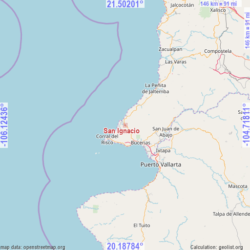
| Upper-left | 21.50201°, | -106.12436° |
| Center: | 20.84636°, | -105.42123° |
| Lower-right: | 20.18784°, | -104.71811° |
| Map W x H: | 146.1×146.1 km | = 90.8×90.8mi |
| max Lat: | 32.7° ⇑26% North |
| San Ignacio: | 20.84636° |
| min Lat: | ⇓74% South 14.53588° |
| min Long | San Ignacio | max Long |
| -117.105° | -105.42123° | -86.73105° |
| W 6.9%⇐ | ⇒93.1% E |
Elevation
Elevation of San Ignacio is 83 m = 272 ft, and this is 1170.7 m = 3841 ft below average elevation for this country.
| Max E: |
3497 m = 11473 ft | 80.9% |
| Avg. | 1253.7 m = 4113 ft | |
| San Ignacio | 83 m = 272 ft | |
Min E: |
-1 m = -3 ft | 19.1% |
See also: Mexico elevation on elevation.city.
Geographical zone
San Ignacio is located in North Torrid zone (between Equator and Tropic of Cancer). Distance of this Northern Tropic circle is 288 km =179 mi to North.| Distance of | km | miles | from San Ignacio |
|---|---|---|---|
| North Pole | 7689.2 | 4777.8 | to North |
| Arctic Circle | 5083.3 | 3158.6 | to North |
| Tropic Cancer | 288 | 179 | to North |
| Equator | 2317.9 | 1440.3 | to South |


Nearby cities:
15 places around San Ignacio: (largest is in red/bold)
• Bucerías
13.5 km =8.4 mi,  137°
137°
• Corral del Risco (Punta de Mita)
12.8 km =8 mi,  230°
230°
• Cruz de Huanacaxtle
11.2 km =7 mi,  156°
156°
• Higuera Blanca
7.3 km =4.5 mi,  221°
221°
• Lo de Marcos
14.1 km =8.8 mi,  30°
30°
• Mezcales
19.3 km =12 mi,  131°
131°
• Mezcalitos
20.7 km =12.9 mi, 135°
• Monteón
20.4 km =12.7 mi,  38°
38°
• San Clemente de Lima
19.8 km =12.3 mi, 127°
• San Francisco
6.2 km =3.9 mi,  8°
8°
• San Vicente
20.8 km =12.9 mi,  121°
121°
• Sayulita
3.3 km =2.1 mi,  323°
323°
• Tondoroque
17.3 km =10.7 mi, 130°
• Ursulo Galván
14.4 km =8.9 mi, 35°
• Valle de Banderas
18.5 km =11.5 mi,  103°
103°
Sources, notices
• [Note1] Compared only with cities in Mexico existing in our database
• [Src1] Map data: © OpenStreetMap contributors (CC-BY-SA)
• [Src2] Other city data from geonames.org with taken over terms of usage.
• [Src3] Geographical zone / Annual Mean Temperature by Robert A. Rohde @ Wikipedia
