Peñuelas geodata
Peñuelas (Guanajuato) is a populated place; located in Mexico in America/Mexico_City (GMT-6) time zone. With population of 1,237 people, there are 7016 cities with bigger population in this country. Compared to other cities in Mexico, 74.5% of cities are located further ↓South; 80% of cities are located further →East and 61.8% of cities have lower elevation than Peñuelas. Note1


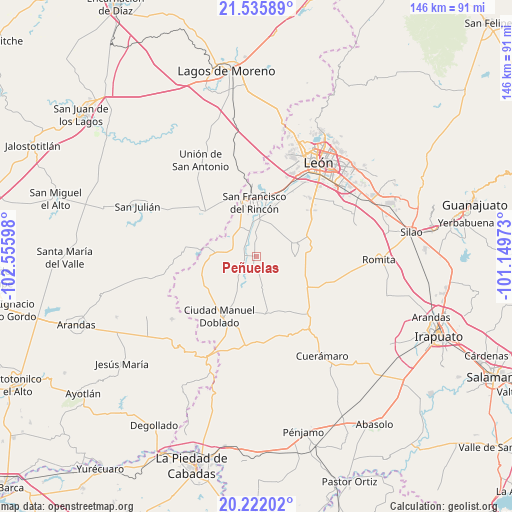
Peñuelas GPS coordinates[2]
20° 52' 49.404" North, 101° 51' 10.26" West
| Map corner | latitude | longitude |
|---|---|---|
| Upper-left | 21.53589°, | -102.55598° |
| Center: | 20.88039°, | -101.85285° |
| Lower-right: | 20.22202°, | -101.14973° |
| Map W x H: | 146.1×146.1 km | = 90.8×90.8mi |
| max Lat: | 32.7° ⇑25.5% North |
| Peñuelas: | 20.88039° |
| min Lat: | ⇓74.5% South 14.53588° |
| min Long | Peñuelas | max Long |
| -117.105° | -101.85285° | -86.73105° |
| W 20%⇐ | ⇒80% E |
Elevation
Elevation of Peñuelas is 1755 m = 5758 ft, and this is 501.3 m = 1645 ft above average elevation for this country.
| Max E: |
3497 m = 11473 ft | 38.2% |
| Peñuelas | 1755 m 5758 ft | |
| Avg. | 1253.7 m = 4113 ft | |
Min E: |
-1 m = -3 ft | 61.8% |
See also: Mexico elevation on elevation.city.
Geographical zone
Peñuelas is located in North Torrid zone (between Equator and Tropic of Cancer). Distance of this Northern Tropic circle is 284.2 km =176.6 mi to North.| Distance of | km | miles | from Peñuelas |
|---|---|---|---|
| North Pole | 7685.4 | 4775.5 | to North |
| Arctic Circle | 5079.5 | 3156.3 | to North |
| Tropic Cancer | 284.2 | 176.6 | to North |
| Equator | 2321.7 | 1442.6 | to South |


Nearby cities:
15 places around Peñuelas: (largest is in red/bold)
• Barrio de Guadalupe del Mezquitillo
8.9 km =5.5 mi,  37°
37°
• Cañada de Negros
8.7 km =5.4 mi,  305°
305°
• Dolores
9.2 km =5.7 mi,  326°
326°
• El Mezquitillo
10.2 km =6.3 mi,  26°
26°
• El Nacimiento
2.6 km =1.6 mi,  192°
192°
• El Tecolote
7.4 km =4.6 mi,  273°
273°
• El Tecuán
6.1 km =3.8 mi, 191°
• El Toro
8 km =5 mi,  224°
224°
• San Bernardo
9.9 km =6.2 mi,  349°
349°
• San Ignacio de Hidalgo
3.6 km =2.2 mi, 347°
• San Isidro de los Palominos
6 km =3.7 mi,  121°
121°
• San Roque de Torres
10.1 km =6.3 mi,  359°
359°
• San Ángel
7.3 km =4.5 mi,  289°
289°
• Silva
7.3 km =4.5 mi, 356°
• Tortugas (Las Conchas)
6.7 km =4.2 mi, 37°
Sources, notices
• [Note1] Compared only with cities in Mexico existing in our database
• [Src1] Map data: © OpenStreetMap contributors (CC-BY-SA)
• [Src2] Other city data from geonames.org with taken over terms of usage.
• [Src3] Geographical zone / Annual Mean Temperature by Robert A. Rohde @ Wikipedia
