Papanoa geodata
Papanoa (Guerrero) is a populated place; located in Mexico in America/Mexico_City (GMT-6) time zone. With population of 3,505 people, there are 2606 cities with bigger population in this country. Compared to other cities in Mexico, 85% of cities are located further ↑North; 73.8% of cities are located further →East and 87.5% of cities have higher elevation than Papanoa. Note1


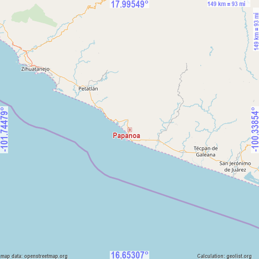
Papanoa GPS coordinates[2]
17° 19' 31.836" North, 101° 2' 29.976" West
| Map corner | latitude | longitude |
|---|---|---|
| Upper-left | 17.99549°, | -101.74479° |
| Center: | 17.32551°, | -101.04166° |
| Lower-right: | 16.65307°, | -100.33854° |
| Map W x H: | 149.3×149.3 km | = 92.8×92.8mi |
| max Lat: | 32.7° ⇑85% North |
| Papanoa: | 17.32551° |
| min Lat: | ⇓15% South 14.53588° |
| min Long | Papanoa | max Long |
| -117.105° | -101.04166° | -86.73105° |
| W 26.2%⇐ | ⇒73.8% E |
Elevation
Elevation of Papanoa is 32 m = 105 ft, and this is 1221.7 m = 4008 ft below average elevation for this country.
| Max E: |
3497 m = 11473 ft | 87.5% |
| Avg. | 1253.7 m = 4113 ft | |
| Papanoa | 32 m = 105 ft | |
Min E: |
-1 m = -3 ft | 12.5% |
See also: Mexico elevation on elevation.city.
Geographical zone
Papanoa is located in North Torrid zone (between Equator and Tropic of Cancer). Distance of this Northern Tropic circle is 679.5 km =422.2 mi to North.| Distance of | km | miles | from Papanoa |
|---|---|---|---|
| North Pole | 8080.6 | 5021.1 | to North |
| Arctic Circle | 5474.8 | 3401.9 | to North |
| Tropic Cancer | 679.5 | 422.2 | to North |
| Equator | 1926.4 | 1197 | to South |


Nearby cities:
15 places around Papanoa: (largest is in red/bold)
• Colonia Veinte de Noviembre (El Veinte)
29.5 km =18.3 mi,  114°
114°
• Coyuquilla Norte
6.3 km =3.9 mi,  345°
345°
• Coyuquilla Sur (Coyuquilla Viejo)
4.7 km =2.9 mi,  321°
321°
• El Mameyal
29.8 km =18.5 mi,  9°
9°
• Las Mesas
21 km =13 mi,  355°
355°
• Nuxco
32.9 km =20.4 mi, 113°
• Palos Blancos
40.2 km =25 mi,  310°
310°
• Petatlán
33.7 km =20.9 mi, 314°
• Rancho Alegre del Llano (El Llano)
11.1 km =6.9 mi,  122°
122°
• Rodecia
38.5 km =23.9 mi, 109°
• San Jeronimito
42 km =26.1 mi, 309°
• San Luis San Pedro
18.3 km =11.4 mi, 111°
• San Luis de La Loma
16.9 km =10.5 mi, 111°
• Tenexpa
42.4 km =26.3 mi, 111°
• Villa Rotaria
42.2 km =26.2 mi, 110°
Sources, notices
• [Note1] Compared only with cities in Mexico existing in our database
• [Src1] Map data: © OpenStreetMap contributors (CC-BY-SA)
• [Src2] Other city data from geonames.org with taken over terms of usage.
• [Src3] Geographical zone / Annual Mean Temperature by Robert A. Rohde @ Wikipedia
