La Reserva geodata
La Reserva (Guanajuato) is a populated place; located in Mexico in America/Mexico_City (GMT-6) time zone. With population of 909 people, there are 9599 cities with bigger population in this country. Compared to other cities in Mexico, 77.6% of cities are located further ↓South; 79.4% of cities are located further →East and 62.8% of cities have lower elevation than La Reserva. Note1


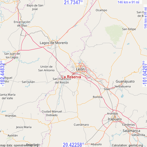
La Reserva GPS coordinates[2]
21° 4' 48.324" North, 101° 44' 42.684" West
| Map corner | latitude | longitude |
|---|---|---|
| Upper-left | 21.7347°, | -102.44832° |
| Center: | 21.08009°, | -101.74519° |
| Lower-right: | 20.42258°, | -101.04207° |
| Map W x H: | 145.9×145.9 km | = 90.7×90.7mi |
| max Lat: | 32.7° ⇑22.4% North |
| La Reserva: | 21.08009° |
| min Lat: | ⇓77.6% South 14.53588° |
| min Long | La Reserva | max Long |
| -117.105° | -101.74519° | -86.73105° |
| W 20.6%⇐ | ⇒79.4% E |
Elevation
Elevation of La Reserva is 1774 m = 5820 ft, and this is 520.3 m = 1707 ft above average elevation for this country.
| Max E: |
3497 m = 11473 ft | 37.2% |
| La Reserva | 1774 m 5820 ft | |
| Avg. | 1253.7 m = 4113 ft | |
Min E: |
-1 m = -3 ft | 62.8% |
See also: Mexico elevation on elevation.city.
Geographical zone
La Reserva is located in North Torrid zone (between Equator and Tropic of Cancer). Distance of this Northern Tropic circle is 262 km =162.8 mi to North.| Distance of | km | miles | from La Reserva |
|---|---|---|---|
| North Pole | 7663.2 | 4761.7 | to North |
| Arctic Circle | 5057.3 | 3142.5 | to North |
| Tropic Cancer | 262 | 162.8 | to North |
| Equator | 2343.9 | 1456.4 | to South |


Nearby cities:
15 places around La Reserva: (largest is in red/bold)
• Barranca de Venaderos
4 km =2.5 mi,  6°
6°
• Buenavista
6.2 km =3.9 mi,  233°
233°
• Centro Familiar la Soledad
6.1 km =3.8 mi,  355°
355°
• Colonia Latinoamericana
6.9 km =4.3 mi,  143°
143°
• Ejido la Joya
7 km =4.3 mi, 5°
• El Puente
6.3 km =3.9 mi,  145°
145°
• El Ramillete
5 km =3.1 mi,  207°
207°
• La Esmeralda
6.9 km =4.3 mi, 141°
• Los Arcos
6.8 km =4.2 mi,  120°
120°
• Malagana (San Antonio del Monte)
3.8 km =2.4 mi,  193°
193°
• Plan de Ayala
2.6 km =1.6 mi,  110°
110°
• Rústico San Pedro
6.6 km =4.1 mi, 141°
• San Isidro de las Colonias
5.4 km =3.4 mi, 153°
• San José de Durán (Los Troncoso)
7.6 km =4.7 mi,  104°
104°
• San Pedro del Monte (La Huizachera)
6.3 km =3.9 mi, 149°
Sources, notices
• [Note1] Compared only with cities in Mexico existing in our database
• [Src1] Map data: © OpenStreetMap contributors (CC-BY-SA)
• [Src2] Other city data from geonames.org with taken over terms of usage.
• [Src3] Geographical zone / Annual Mean Temperature by Robert A. Rohde @ Wikipedia
