Diez de Octubre geodata
Diez de Octubre (Durango) is a populated place; located in Mexico in America/Monterrey (GMT-6) time zone. With population of 1,500 people, there are 5753 cities with bigger population in this country. Compared to other cities in Mexico, 91.3% of cities are located further ↓South; 91.3% of cities are located further →East and 67.8% of cities have lower elevation than Diez de Octubre. Note1


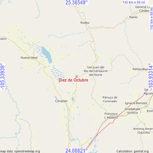
Diez de Octubre GPS coordinates[2]
24° 43' 42.564" North, 104° 38' 10.536" West
| Map corner | latitude | longitude |
|---|---|---|
| Upper-left | 25.36549°, | -105.33939° |
| Center: | 24.72849°, | -104.63626° |
| Lower-right: | 24.08821°, | -103.93314° |
| Map W x H: | 142×142 km | = 88.2×88.2mi |
| max Lat: | 32.7° ⇑8.7% North |
| Diez de Octubre: | 24.72849° |
| min Lat: | ⇓91.3% South 14.53588° |
| min Long | Diez de Octubre | max Long |
| -117.105° | -104.63626° | -86.73105° |
| W 8.7%⇐ | ⇒91.3% E |
Elevation
Elevation of Diez de Octubre is 1884 m = 6181 ft, and this is 630.3 m = 2068 ft above average elevation for this country.
| Max E: |
3497 m = 11473 ft | 32.2% |
| Diez de Octubre | 1884 m 6181 ft | |
| Avg. | 1253.7 m = 4113 ft | |
Min E: |
-1 m = -3 ft | 67.8% |
See also: Mexico elevation on elevation.city.
Geographical zone
Diez de Octubre is located in North temperate zone (between Tropic of Cancer and the Arctic Circle). Distance of this Northern Tropic circle is 143.6 km =89.2 mi to South.| Distance of | km | miles | from Diez de Octubre |
|---|---|---|---|
| North Pole | 7257.5 | 4509.6 | to North |
| Arctic Circle | 4651.6 | 2890.4 | to North |
| Tropic Cancer | 143.6 | 89.2 | to South |
| Equator | 2749.6 | 1708.5 | to South |


Nearby cities:
15 places around Diez de Octubre: (largest is in red/bold)
• Adolfo López Mateos (Aguinaldo)
25.3 km =15.7 mi,  143°
143°
• Bruno Martínez
23.3 km =14.5 mi,  183°
183°
• Canatlán
26.5 km =16.5 mi,  211°
211°
• Ciénega Grande
11 km =6.8 mi,  71°
71°
• Donato Guerra
12.6 km =7.8 mi, 181°
• El Progreso
22.6 km =14 mi,  243°
243°
• Francisco Primo Verdad
26.6 km =16.5 mi,  43°
43°
• Guatimapé
30 km =18.6 mi,  287°
287°
• José María Patoni
25.3 km =15.7 mi,  48°
48°
• La Sauceda
25.5 km =15.8 mi, 206°
• La Soledad
29.8 km =18.5 mi,  277°
277°
• Nogales
29.4 km =18.3 mi,  342°
342°
• San José de Gracia
30.1 km =18.7 mi,  200°
200°
• San Juan del Rio del Centauro del Norte
18.8 km =11.7 mi, 72°
• Venustiano Carranza
28.6 km =17.8 mi, 177°
Sources, notices
• [Note1] Compared only with cities in Mexico existing in our database
• [Src1] Map data: © OpenStreetMap contributors (CC-BY-SA)
• [Src2] Other city data from geonames.org with taken over terms of usage.
• [Src3] Geographical zone / Annual Mean Temperature by Robert A. Rohde @ Wikipedia
