El Progreso geodata
El Progreso (Durango) is a populated place; located in Mexico in America/Monterrey (GMT-6) time zone. With population of 542 people, there are 15673 cities with bigger population in this country. Compared to other cities in Mexico, 91.1% of cities are located further ↓South; 91.6% of cities are located further →East and 74.4% of cities have lower elevation than El Progreso. Note1


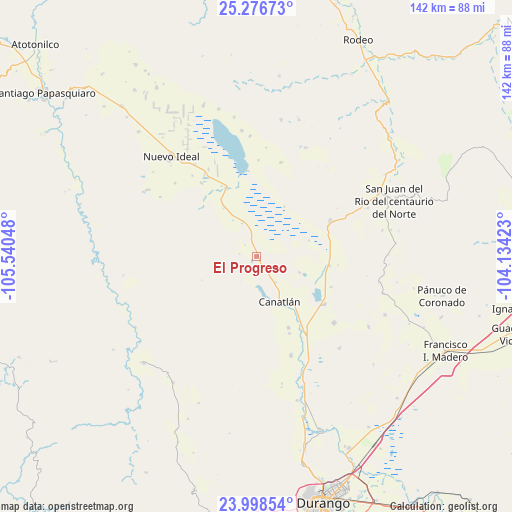
El Progreso GPS coordinates[2]
24° 38' 21.372" North, 104° 50' 14.46" West
| Map corner | latitude | longitude |
|---|---|---|
| Upper-left | 25.27673°, | -105.54048° |
| Center: | 24.63927°, | -104.83735° |
| Lower-right: | 23.99854°, | -104.13423° |
| Map W x H: | 142.1×142.1 km | = 88.3×88.3mi |
| max Lat: | 32.7° ⇑8.9% North |
| El Progreso: | 24.63927° |
| min Lat: | ⇓91.1% South 14.53588° |
| min Long | El Progreso | max Long |
| -117.105° | -104.83735° | -86.73105° |
| W 8.4%⇐ | ⇒91.6% E |
Elevation
Elevation of El Progreso is 2020 m = 6627 ft, and this is 766.3 m = 2514 ft above average elevation for this country.
| Max E: |
3497 m = 11473 ft | 25.6% |
| El Progreso | 2020 m 6627 ft | |
| Avg. | 1253.7 m = 4113 ft | |
Min E: |
-1 m = -3 ft | 74.4% |
See also: Mexico elevation on elevation.city.
Geographical zone
El Progreso is located in North temperate zone (between Tropic of Cancer and the Arctic Circle). Distance of this Northern Tropic circle is 133.7 km =83.1 mi to South.| Distance of | km | miles | from El Progreso |
|---|---|---|---|
| North Pole | 7267.4 | 4515.8 | to North |
| Arctic Circle | 4661.5 | 2896.5 | to North |
| Tropic Cancer | 133.7 | 83.1 | to South |
| Equator | 2739.6 | 1702.3 | to South |


Nearby cities:
15 places around El Progreso: (largest is in red/bold)
• Bruno Martínez
23 km =14.3 mi,  125°
125°
• Canatlán
14.2 km =8.8 mi,  152°
152°
• Ciénega Grande
33.5 km =20.8 mi,  66°
66°
• Diez de Octubre
22.6 km =14 mi,  63°
63°
• Donato Guerra
20.3 km =12.6 mi,  97°
97°
• El Nuevo Porvenir
27.5 km =17.1 mi,  330°
330°
• Esfuerzos Unidos
25.5 km =15.8 mi,  322°
322°
• General Martín López
21.8 km =13.5 mi,  156°
156°
• Guatimapé
20.5 km =12.7 mi,  335°
335°
• José Guadalupe Aguilera (Santa Lucía)
24.3 km =15.1 mi, 147°
• La Sauceda
15.7 km =9.8 mi, 145°
• La Soledad
16.6 km =10.3 mi, 326°
• Nicolás Bravo
29.3 km =18.2 mi, 161°
• San José de Gracia
20.6 km =12.8 mi, 152°
• Venustiano Carranza
28.3 km =17.6 mi, 131°
Sources, notices
• [Note1] Compared only with cities in Mexico existing in our database
• [Src1] Map data: © OpenStreetMap contributors (CC-BY-SA)
• [Src2] Other city data from geonames.org with taken over terms of usage.
• [Src3] Geographical zone / Annual Mean Temperature by Robert A. Rohde @ Wikipedia
