Alhuey geodata
Alhuey (Sinaloa) is a populated place; located in Mexico in America/Mazatlan (GMT-7) time zone. With population of 2,686 people, there are 3295 cities with bigger population in this country. Compared to other cities in Mexico, 92.3% of cities are located further ↓South; 95.7% of cities are located further →East and 89.4% of cities have higher elevation than Alhuey. Note1


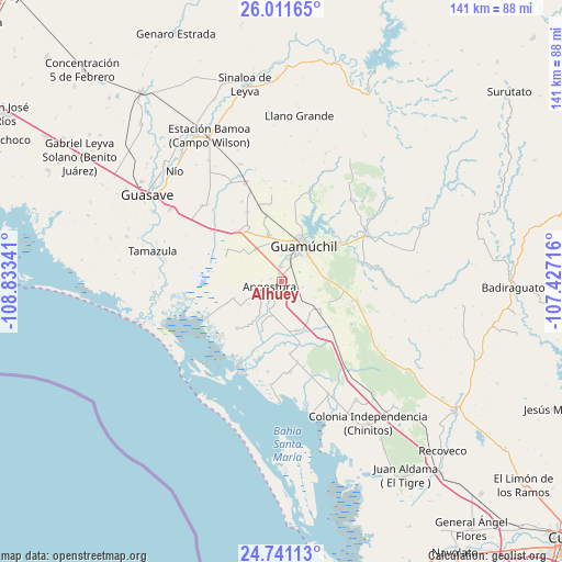
Alhuey GPS coordinates[2]
25° 22' 41.016" North, 108° 7' 49.008" West
| Map corner | latitude | longitude |
|---|---|---|
| Upper-left | 26.01165°, | -108.83341° |
| Center: | 25.37806°, | -108.13028° |
| Lower-right: | 24.74113°, | -107.42716° |
| Map W x H: | 141.3×141.3 km | = 87.8×87.8mi |
| max Lat: | 32.7° ⇑7.7% North |
| Alhuey: | 25.37806° |
| min Lat: | ⇓92.3% South 14.53588° |
| min Long | Alhuey | max Long |
| -117.105° | -108.13028° | -86.73105° |
| W 4.3%⇐ | ⇒95.7% E |
Elevation
Elevation of Alhuey is 26 m = 85 ft, and this is 1227.7 m = 4028 ft below average elevation for this country.
| Max E: |
3497 m = 11473 ft | 89.4% |
| Avg. | 1253.7 m = 4113 ft | |
| Alhuey | 26 m = 85 ft | |
Min E: |
-1 m = -3 ft | 10.6% |
See also: Mexico elevation on elevation.city.
Geographical zone
Alhuey is located in North temperate zone (between Tropic of Cancer and the Arctic Circle). Distance of this Northern Tropic circle is 215.9 km =134.2 mi to South.| Distance of | km | miles | from Alhuey |
|---|---|---|---|
| North Pole | 7185.3 | 4464.7 | to North |
| Arctic Circle | 4579.4 | 2845.5 | to North |
| Tropic Cancer | 215.9 | 134.2 | to South |
| Equator | 2821.8 | 1753.4 | to South |


Nearby cities:
15 places around Alhuey: (largest is in red/bold)
• Angostura
3.4 km =2.1 mi,  246°
246°
• Batury
16.3 km =10.1 mi,  223°
223°
• Capomos
3.6 km =2.2 mi,  3°
3°
• El Salitre
6.5 km =4 mi,  358°
358°
• El Taballal
9.6 km =6 mi,  66°
66°
• El Ébano
8.1 km =5 mi, 221°
• Estación Acatita
12.5 km =7.8 mi,  129°
129°
• Gabriel Leyva Velázquez (La Escalera)
10.3 km =6.4 mi,  319°
319°
• Guamúchil
10.4 km =6.5 mi,  30°
30°
• Gustavo Díaz Ordaz
12.9 km =8 mi,  163°
163°
• La Esperanza
6.5 km =4 mi,  240°
240°
• La Palma
2.9 km =1.8 mi,  280°
280°
• Rodolfo Sánchez Taboada (Las Lagunitas)
15.6 km =9.7 mi,  294°
294°
• San Isidro
5.8 km =3.6 mi,  14°
14°
• Tultita
10.7 km =6.6 mi,  46°
46°
Sources, notices
• [Note1] Compared only with cities in Mexico existing in our database
• [Src1] Map data: © OpenStreetMap contributors (CC-BY-SA)
• [Src2] Other city data from geonames.org with taken over terms of usage.
• [Src3] Geographical zone / Annual Mean Temperature by Robert A. Rohde @ Wikipedia
