El Centenario geodata
El Centenario (Nayarit) is a populated place; located in Mexico in America/Mazatlan (GMT-7) time zone. With population of 701 people, there are 12418 cities with bigger population in this country. Compared to other cities in Mexico, 86.7% of cities are located further ↓South; 92.9% of cities are located further →East and 87% of cities have higher elevation than El Centenario. Note1


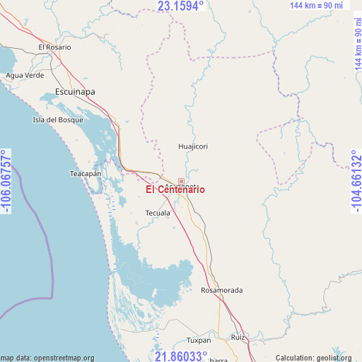
El Centenario GPS coordinates[2]
22° 30' 41.004" North, 105° 21' 51.984" West
| Map corner | latitude | longitude |
|---|---|---|
| Upper-left | 23.1594°, | -106.06757° |
| Center: | 22.51139°, | -105.36444° |
| Lower-right: | 21.86033°, | -104.66132° |
| Map W x H: | 144.4×144.4 km | = 89.7×89.7mi |
| max Lat: | 32.7° ⇑13.3% North |
| El Centenario: | 22.51139° |
| min Lat: | ⇓86.7% South 14.53588° |
| min Long | El Centenario | max Long |
| -117.105° | -105.36444° | -86.73105° |
| W 7.1%⇐ | ⇒92.9% E |
Elevation
Elevation of El Centenario is 34 m = 112 ft, and this is 1219.7 m = 4002 ft below average elevation for this country.
| Max E: |
3497 m = 11473 ft | 87% |
| Avg. | 1253.7 m = 4113 ft | |
| El Centenario | 34 m = 112 ft | |
Min E: |
-1 m = -3 ft | 13% |
See also: Mexico elevation on elevation.city.
Geographical zone
El Centenario is located in North Torrid zone (between Equator and Tropic of Cancer). Distance of this Northern Tropic circle is 102.9 km =63.9 mi to North.| Distance of | km | miles | from El Centenario |
|---|---|---|---|
| North Pole | 7504 | 4662.8 | to North |
| Arctic Circle | 4898.1 | 3043.5 | to North |
| Tropic Cancer | 102.9 | 63.9 | to North |
| Equator | 2503 | 1555.3 | to South |


Nearby cities:
15 places around El Centenario: (largest is in red/bold)
• Acaponeta
1.9 km =1.2 mi,  177°
177°
• Camalotita
13.7 km =8.5 mi,  210°
210°
• El Aguaje
15.6 km =9.7 mi,  266°
266°
• El Filo
17.6 km =10.9 mi, 213°
• El Recodo
2.6 km =1.6 mi,  63°
63°
• El Resbalón
14.5 km =9 mi,  153°
153°
• El Tigre
10.6 km =6.6 mi,  262°
262°
• Huajicori
14.7 km =9.1 mi,  18°
18°
• La Concha (La Concepción)
9.3 km =5.8 mi,  284°
284°
• La Guásima
12 km =7.5 mi,  191°
191°
• Llano de la Cruz
8.6 km =5.3 mi, 188°
• San Felipe Aztatán
15.3 km =9.5 mi,  201°
201°
• San José de Gracia
3.7 km =2.3 mi, 203°
• Sayulilla
8.6 km =5.3 mi, 198°
• Tecuala
15.8 km =9.8 mi,  217°
217°
Sources, notices
• [Note1] Compared only with cities in Mexico existing in our database
• [Src1] Map data: © OpenStreetMap contributors (CC-BY-SA)
• [Src2] Other city data from geonames.org with taken over terms of usage.
• [Src3] Geographical zone / Annual Mean Temperature by Robert A. Rohde @ Wikipedia
