Barra de Navidad geodata
Barra de Navidad (Oaxaca) is a populated place; located in Mexico in America/Mexico_City (GMT-6) time zone. With population of 705 people, there are 12337 cities with bigger population in this country. Compared to other cities in Mexico, 97.8% of cities are located further ↑North; 74.5% of cities are located further ←West and 86.7% of cities have higher elevation than Barra de Navidad. Note1


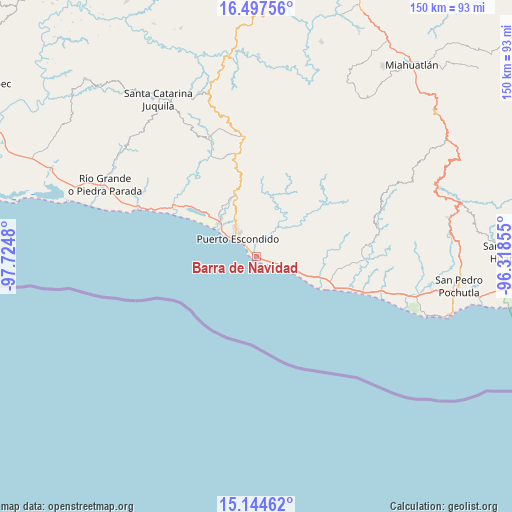
Barra de Navidad GPS coordinates[2]
15° 49' 19.992" North, 97° 1' 18.012" West
| Map corner | latitude | longitude |
|---|---|---|
| Upper-left | 16.49756°, | -97.7248° |
| Center: | 15.82222°, | -97.02167° |
| Lower-right: | 15.14462°, | -96.31855° |
| Map W x H: | 150.4×150.4 km | = 93.5×93.5mi |
| max Lat: | 32.7° ⇑97.8% North |
| Barra de Navidad: | 15.82222° |
| min Lat: | ⇓2.2% South 14.53588° |
| min Long | Barra de Navida | max Long |
| -117.105° | -97.02167° | -86.73105° |
| W 74.5%⇐ | ⇒25.5% E |
Elevation
Elevation of Barra de Navidad is 35 m = 115 ft, and this is 1218.7 m = 3998 ft below average elevation for this country.
| Max E: |
3497 m = 11473 ft | 86.7% |
| Avg. | 1253.7 m = 4113 ft | |
| Barra de Navidad | 35 m = 115 ft | |
Min E: |
-1 m = -3 ft | 13.3% |
See also: Mexico elevation on elevation.city.
Geographical zone
Barra de Navidad is located in North Torrid zone (between Equator and Tropic of Cancer). Distance of this Northern Tropic circle is 846.7 km =526.1 mi to North.| Distance of | km | miles | from Barra de Navidad |
|---|---|---|---|
| North Pole | 8247.8 | 5124.9 | to North |
| Arctic Circle | 5641.9 | 3505.7 | to North |
| Tropic Cancer | 846.7 | 526.1 | to North |
| Equator | 1759.3 | 1093.2 | to South |


Nearby cities:
15 places around Barra de Navidad: (largest is in red/bold)
• Bajos de Chila
15.5 km =9.6 mi,  316°
316°
• Brisas de Zicatela
2.7 km =1.7 mi,  307°
307°
• Colonia Libertad
6.4 km =4 mi, 324°
• El Huarumbo
20 km =12.4 mi,  340°
340°
• El Tomatal
11.5 km =7.1 mi,  110°
110°
• Juan Diego
11.9 km =7.4 mi,  91°
91°
• La Barra de Colotepec
0.8 km =0.5 mi,  295°
295°
• La Reforma
18.8 km =11.7 mi,  12°
12°
• La Ventanilla
5.5 km =3.4 mi,  102°
102°
• Puerto Escondido
8 km =5 mi, 311°
• San Andrés Copala
23.6 km =14.7 mi,  326°
326°
• San Bernardino
22.3 km =13.9 mi, 99°
• San Juanito o la Botija
25.5 km =15.8 mi, 97°
• San Pedro Mixtepec
18.8 km =11.7 mi, 340°
• Santa María Colotepec
12.1 km =7.5 mi,  46°
46°
Sources, notices
• [Note1] Compared only with cities in Mexico existing in our database
• [Src1] Map data: © OpenStreetMap contributors (CC-BY-SA)
• [Src2] Other city data from geonames.org with taken over terms of usage.
• [Src3] Geographical zone / Annual Mean Temperature by Robert A. Rohde @ Wikipedia
