Tierra y Libertad geodata
Tierra y Libertad (Oaxaca) is a populated place; located in Mexico in America/Mexico_City (GMT-6) time zone. With population of 544 people, there are 15626 cities with bigger population in this country. Compared to other cities in Mexico, 86.5% of cities are located further ↑North; 76.7% of cities are located further ←West and 56.8% of cities have lower elevation than Tierra y Libertad. Note1


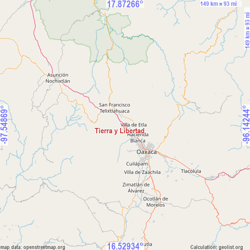
Tierra y Libertad GPS coordinates[2]
17° 12' 7.992" North, 96° 50' 44.016" West
| Map corner | latitude | longitude |
|---|---|---|
| Upper-left | 17.87266°, | -97.54869° |
| Center: | 17.20222°, | -96.84556° |
| Lower-right: | 16.52934°, | -96.14244° |
| Map W x H: | 149.4×149.4 km | = 92.8×92.8mi |
| max Lat: | 32.7° ⇑86.5% North |
| Tierra y Libertad: | 17.20222° |
| min Lat: | ⇓13.5% South 14.53588° |
| min Long | Tierra y Libert | max Long |
| -117.105° | -96.84556° | -86.73105° |
| W 76.7%⇐ | ⇒23.3% E |
Elevation
Elevation of Tierra y Libertad is 1652 m = 5420 ft, and this is 398.3 m = 1307 ft above average elevation for this country.
| Max E: |
3497 m = 11473 ft | 43.2% |
| Tierra y Libertad | 1652 m 5420 ft | |
| Avg. | 1253.7 m = 4113 ft | |
Min E: |
-1 m = -3 ft | 56.8% |
See also: Mexico elevation on elevation.city.
Geographical zone
Tierra y Libertad is located in North Torrid zone (between Equator and Tropic of Cancer). Distance of this Northern Tropic circle is 693.2 km =430.7 mi to North.| Distance of | km | miles | from Tierra y Libertad |
|---|---|---|---|
| North Pole | 8094.4 | 5029.6 | to North |
| Arctic Circle | 5488.5 | 3410.4 | to North |
| Tropic Cancer | 693.2 | 430.7 | to North |
| Equator | 1912.7 | 1188.5 | to South |


Nearby cities:
15 places around Tierra y Libertad: (largest is in red/bold)
• Alemán
1.3 km =0.8 mi,  142°
142°
• Asunción Etla
5.4 km =3.4 mi,  76°
76°
• El Vergel
5.6 km =3.5 mi, 84°
• Fraccionamiento Ex-Hacienda Catano
4.2 km =2.6 mi,  48°
48°
• Guadalupe Etla
5 km =3.1 mi,  131°
131°
• Magdalena Apasco
5 km =3.1 mi,  31°
31°
• Matadamas
5.6 km =3.5 mi,  147°
147°
• Reyes Etla
2.9 km =1.8 mi,  90°
90°
• San Andrés Zautla
2.6 km =1.6 mi,  229°
229°
• San Isidro
2.1 km =1.3 mi,  116°
116°
• San Lázaro Etla
2.6 km =1.6 mi, 54°
• Santa Cruz Lachixolana
3 km =1.9 mi,  339°
339°
• Santo Domingo Tlaltinango
4.2 km =2.6 mi,  358°
358°
• Santo Tomás Mazaltepec
4.5 km =2.8 mi,  221°
221°
• Villa de Etla
5 km =3.1 mi, 84°
Sources, notices
• [Note1] Compared only with cities in Mexico existing in our database
• [Src1] Map data: © OpenStreetMap contributors (CC-BY-SA)
• [Src2] Other city data from geonames.org with taken over terms of usage.
• [Src3] Geographical zone / Annual Mean Temperature by Robert A. Rohde @ Wikipedia
