Ilha de Moçambique geodata
Ilha de Moçambique (Nampula) is a populated place; located in Mozambique in Africa/Maputo (GMT+2) time zone. With population of 54,315 people, there are 21 cities with bigger population in this country. Compared to other cities in Mozambique, 69.2% of cities are located further ↓South; 100% of cities are located further ←West and 80.8% of cities have higher elevation than Ilha de Moçambique. Note1


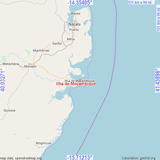
Ilha de Moçambique GPS coordinates[2]
15° 2' 3.012" South, 40° 44' 8.988" East
| Map corner | latitude | longitude |
|---|---|---|
| Upper-left | -14.35405°, | 40.03271° |
| Center: | -15.03417°, | 40.73583° |
| Lower-right: | -15.71213°, | 41.43896° |
| Map W x H: | 151×151 km | = 93.8×93.8mi |
| max Lat: | -11.31667° ⇑30.8% North |
| Ilha de Moçambique: | -15.03417° |
| min Lat: | ⇓69.2% South -25.96553° |
| min Long | Ilha de Moçamb | max Long |
| 31.99528° | 40.73583° | 40.73583° |
| W 100%⇐ | ⇒0% E |
Elevation
Elevation of Ilha de Moçambique is 10 m = 33 ft, and this is 209.5 m = 687 ft below average elevation for this country.
| Max E: |
1349 m = 4426 ft | 80.8% |
| Avg. | 219.5 m = 720 ft | |
| Ilha de Moçambique | 10 m = 33 ft | |
Min E: |
4 m = 13 ft | 19.2% |
See also: Ilha de Moçambique elevation on elevation.city.
Geographical zone
Ilha de Moçambique is located in South Torrid zone (between Equator and Tropic of Capricorn). Distance of this Southern Tropic circle is 934.3 km =580.5 mi to South.| Distance of | km | miles | from Ilha de Moçambique |
|---|---|---|---|
| Equator | 1671.6 | 1038.7 | to North |
| Tropic Capricorn | 934.3 | 580.5 | to South |
| Antarctic Circle | 5729.5 | 3560.1 | to South |
| South Pole | 8335.4 | 5179.4 | to South |


Nearby cities:
7 places around Ilha de Moçambique: (largest is in red/bold)
• António Enes
160 km =99.4 mi,  213°
213°
• Mocímboa
415.5 km =258.2 mi,  354°
354°
• Montepuez
283 km =175.8 mi,  318°
318°
• Mutuáli
401.3 km =249.4 mi,  272°
272°
• Nacala
52.7 km =32.7 mi, 354°
• Nampula
158 km =98.2 mi, 266°
• Pemba
230.3 km =143.1 mi, 354°
Sources, notices
• [Note1] Compared only with cities in Mozambique existing in our database
• [Src1] Map data: © OpenStreetMap contributors (CC-BY-SA)
• [Src2] Other city data from geonames.org with taken over terms of usage.
• [Src3] Geographical zone / Annual Mean Temperature by Robert A. Rohde @ Wikipedia
