Thorn geodata
Thorn (Limburg) is a populated place; located in Netherlands in Europe/Amsterdam (GMT+2) time zone. With population of 2,295 people, there are 893 cities with bigger population in this country. Compared to other cities in Netherlands, 91.8% of cities are located further ↑North; 60.4% of cities are located further ←West and 90.5% of cities have lower elevation than Thorn. Note1


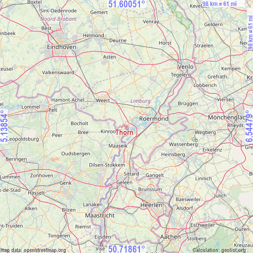
Thorn GPS coordinates[2]
51° 9' 42.012" North, 5° 50' 30.012" East
| Map corner | latitude | longitude |
|---|---|---|
| Upper-left | 51.60051°, | 5.13854° |
| Center: | 51.16167°, | 5.84167° |
| Lower-right: | 50.71861°, | 6.54479° |
| Map W x H: | 98.1×98.1 km | = 61×61mi |
| max Lat: | 53.48025° ⇑91.8% North |
| Thorn: | 51.16167° |
| min Lat: | ⇓8.2% South 50.76917° |
| min Long | Thorn | max Long |
| 3.38611° | 5.84167° | 7.16528° |
| W 60.4%⇐ | ⇒39.6% E |
Elevation
Elevation of Thorn is 34 m = 112 ft, and this is 19 m = 62 ft above average elevation for this country.
| Max E: |
203 m = 666 ft | 9.5% |
| Thorn | 34 m 112 ft | |
| Avg. | 15 m = 49 ft | |
Min E: |
-6 m = -20 ft | 90.5% |
See also: Netherlands elevation on elevation.city.
Geographical zone
Thorn is located in North temperate zone (between Tropic of Cancer and the Arctic Circle). Distance of this North polar circle is 1712.5 km =1064.1 mi to North.| Distance of | km | miles | from Thorn |
|---|---|---|---|
| North Pole | 4318.4 | 2683.3 | to North |
| Arctic Circle | 1712.5 | 1064.1 | to North |
| Tropic Cancer | 3082.7 | 1915.5 | to South |
| Equator | 5688.6 | 3534.7 | to South |


Nearby cities:
15 places around Thorn: (largest is in red/bold)
• Beegden
6.2 km =3.9 mi,  60°
60°
• Brachterbeek
4.7 km =2.9 mi,  110°
110°
• Heel
4.2 km =2.6 mi, 62°
• Herten
8.7 km =5.4 mi,  75°
75°
• Hingen
7.4 km =4.6 mi,  147°
147°
• Kelpen-Oler
6.4 km =4 mi,  350°
350°
• Linne
6.8 km =4.2 mi,  96°
96°
• Maasbracht
4 km =2.5 mi,  128°
128°
• Merum
8.3 km =5.2 mi, 81°
• Montfort
8.5 km =5.3 mi,  118°
118°
• Peij
8.4 km =5.2 mi, 153°
• Schilberg
7.6 km =4.7 mi,  155°
155°
• Sint Joost
6.3 km =3.9 mi,  141°
141°
• Slek
8.8 km =5.5 mi, 161°
• Wessem
2.8 km =1.7 mi,  94°
94°
Sources, notices
• [Note1] Compared only with cities in Netherlands existing in our database
• [Src1] Map data: © OpenStreetMap contributors (CC-BY-SA)
• [Src2] Other city data from geonames.org with taken over terms of usage.
• [Src3] Geographical zone / Annual Mean Temperature by Robert A. Rohde @ Wikipedia
