Beegden geodata
Beegden (Limburg) is a populated place; located in Netherlands in Europe/Amsterdam (GMT+2) time zone. With population of 1,765 people, there are 1029 cities with bigger population in this country. Compared to other cities in Netherlands, 91.6% of cities are located further ↑North; 65.7% of cities are located further ←West and 89.2% of cities have lower elevation than Beegden. Note1


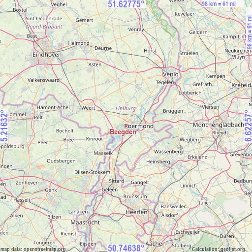
Beegden GPS coordinates[2]
51° 11' 21.012" North, 5° 55' 9.984" East
| Map corner | latitude | longitude |
|---|---|---|
| Upper-left | 51.62775°, | 5.21632° |
| Center: | 51.18917°, | 5.91944° |
| Lower-right: | 50.74638°, | 6.62257° |
| Map W x H: | 98×98 km | = 60.9×60.9mi |
| max Lat: | 53.48025° ⇑91.6% North |
| Beegden: | 51.18917° |
| min Lat: | ⇓8.4% South 50.76917° |
| min Long | Beegden | max Long |
| 3.38611° | 5.91944° | 7.16528° |
| W 65.7%⇐ | ⇒34.3% E |
Elevation
Elevation of Beegden is 32 m = 105 ft, and this is 17 m = 56 ft above average elevation for this country.
| Max E: |
203 m = 666 ft | 10.8% |
| Beegden | 32 m 105 ft | |
| Avg. | 15 m = 49 ft | |
Min E: |
-6 m = -20 ft | 89.2% |
See also: Netherlands elevation on elevation.city.
Geographical zone
Beegden is located in North temperate zone (between Tropic of Cancer and the Arctic Circle). Distance of this North polar circle is 1709.5 km =1062.2 mi to North.| Distance of | km | miles | from Beegden |
|---|---|---|---|
| North Pole | 4315.4 | 2681.5 | to North |
| Arctic Circle | 1709.5 | 1062.2 | to North |
| Tropic Cancer | 3085.8 | 1917.4 | to South |
| Equator | 5691.7 | 3536.7 | to South |


Nearby cities:
15 places around Beegden: (largest is in red/bold)
• Brachterbeek
4.8 km =3 mi,  192°
192°
• Haelen
5.8 km =3.6 mi,  26°
26°
• Heel
2.1 km =1.3 mi,  237°
237°
• Herten
3.1 km =1.9 mi,  107°
107°
• Heythuysen
6.9 km =4.3 mi,  347°
347°
• Kelpen-Oler
7.3 km =4.5 mi,  296°
296°
• Kitskensberg
6.2 km =3.9 mi, 108°
• Leeuwen
6 km =3.7 mi,  66°
66°
• Linne
4 km =2.5 mi,  160°
160°
• Maasbracht
6 km =3.7 mi,  202°
202°
• Merum
3.3 km =2.1 mi,  122°
122°
• Montfort
7.3 km =4.5 mi, 163°
• Roermond
4.8 km =3 mi,  83°
83°
• Thorn
6.2 km =3.9 mi, 240°
• Wessem
4.2 km =2.6 mi,  218°
218°
Sources, notices
• [Note1] Compared only with cities in Netherlands existing in our database
• [Src1] Map data: © OpenStreetMap contributors (CC-BY-SA)
• [Src2] Other city data from geonames.org with taken over terms of usage.
• [Src3] Geographical zone / Annual Mean Temperature by Robert A. Rohde @ Wikipedia
