Rijsbergen geodata
Rijsbergen (North Brabant) is a populated place; located in Netherlands in Europe/Amsterdam (GMT+2) time zone. With population of 4,140 people, there are 574 cities with bigger population in this country. Compared to other cities in Netherlands, 79.5% of cities are located further ↑North; 83.1% of cities are located further →East and 57.3% of cities have lower elevation than Rijsbergen. Note1


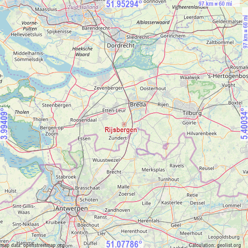
Rijsbergen GPS coordinates[2]
51° 31' 3" North, 4° 41' 49.992" East
| Map corner | latitude | longitude |
|---|---|---|
| Upper-left | 51.95294°, | 3.99409° |
| Center: | 51.5175°, | 4.69722° |
| Lower-right: | 51.07786°, | 5.40034° |
| Map W x H: | 97.3×97.3 km | = 60.5×60.5mi |
| max Lat: | 53.48025° ⇑79.5% North |
| Rijsbergen: | 51.5175° |
| min Lat: | ⇓20.5% South 50.76917° |
| min Long | Rijsbergen | max Long |
| 3.38611° | 4.69722° | 7.16528° |
| W 16.9%⇐ | ⇒83.1% E |
Elevation
Elevation of Rijsbergen is 9 m = 30 ft, and this is 6 m = 20 ft below average elevation for this country.
| Max E: |
203 m = 666 ft | 42.7% |
| Avg. | 15 m = 49 ft | |
| Rijsbergen | 9 m = 30 ft | |
Min E: |
-6 m = -20 ft | 57.3% |
See also: Netherlands elevation on elevation.city.
Geographical zone
Rijsbergen is located in North temperate zone (between Tropic of Cancer and the Arctic Circle). Distance of this North polar circle is 1673 km =1039.6 mi to North.| Distance of | km | miles | from Rijsbergen |
|---|---|---|---|
| North Pole | 4278.9 | 2658.8 | to North |
| Arctic Circle | 1673 | 1039.6 | to North |
| Tropic Cancer | 3122.3 | 1940.1 | to South |
| Equator | 5728.2 | 3559.3 | to South |


Nearby cities:
15 places around Rijsbergen: (largest is in red/bold)
• Breda
9.4 km =5.8 mi,  35°
35°
• Gageldonk
9.8 km =6.1 mi,  17°
17°
• Galder
5.5 km =3.4 mi,  92°
92°
• Ginneken
8.5 km =5.3 mi,  50°
50°
• Klein-Zundert
5.1 km =3.2 mi,  216°
216°
• Princenhage
7.2 km =4.5 mi, 23°
• Prinsenbeek
9 km =5.6 mi,  6°
6°
• Rucphen
9.7 km =6 mi,  279°
279°
• Schijf
9.6 km =6 mi,  257°
257°
• Sint Willebrord
8.2 km =5.1 mi,  294°
294°
• Sprundel
7.3 km =4.5 mi, 287°
• Ulvenhout
7.9 km =4.9 mi,  63°
63°
• Wernhout
7.9 km =4.9 mi,  208°
208°
• Zandberg
8.7 km =5.4 mi, 44°
• Zundert
5.9 km =3.7 mi, 209°
Sources, notices
• [Note1] Compared only with cities in Netherlands existing in our database
• [Src1] Map data: © OpenStreetMap contributors (CC-BY-SA)
• [Src2] Other city data from geonames.org with taken over terms of usage.
• [Src3] Geographical zone / Annual Mean Temperature by Robert A. Rohde @ Wikipedia
