Monster geodata
Monster (South Holland) is a populated place; located in Netherlands in Europe/Amsterdam (GMT+2) time zone. With population of 11,580 people, there are 264 cities with bigger population in this country. Compared to other cities in Netherlands, 50.5% of cities are located further ↓South; 95.2% of cities are located further →East and 65.8% of cities have higher elevation than Monster. Note1


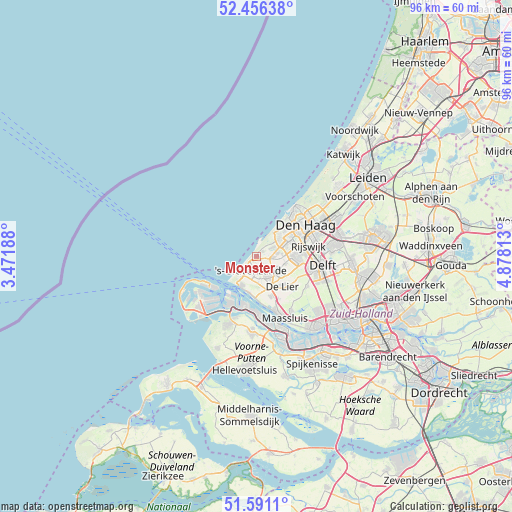
Monster GPS coordinates[2]
52° 1' 32.988" North, 4° 10' 30" East
| Map corner | latitude | longitude |
|---|---|---|
| Upper-left | 52.45638°, | 3.47188° |
| Center: | 52.02583°, | 4.175° |
| Lower-right: | 51.5911°, | 4.87813° |
| Map W x H: | 96.2×96.2 km | = 59.8×59.8mi |
| max Lat: | 53.48025° ⇑49.5% North |
| Monster: | 52.02583° |
| min Lat: | ⇓50.5% South 50.76917° |
| min Long | Monster | max Long |
| 3.38611° | 4.175° | 7.16528° |
| W 4.8%⇐ | ⇒95.2% E |
Elevation
Elevation of Monster is 3 m = 10 ft, and this is 12 m = 39 ft below average elevation for this country.
| Max E: |
203 m = 666 ft | 65.8% |
| Avg. | 15 m = 49 ft | |
| Monster | 3 m = 10 ft | |
Min E: |
-6 m = -20 ft | 34.2% |
See also: Netherlands elevation on elevation.city.
Geographical zone
Monster is located in North temperate zone (between Tropic of Cancer and the Arctic Circle). Distance of this North polar circle is 1616.4 km =1004.4 mi to North.| Distance of | km | miles | from Monster |
|---|---|---|---|
| North Pole | 4222.3 | 2623.6 | to North |
| Arctic Circle | 1616.4 | 1004.4 | to North |
| Tropic Cancer | 3178.8 | 1975.2 | to South |
| Equator | 5784.7 | 3594.4 | to South |


Nearby cities:
15 places around Monster: (largest is in red/bold)
• 's-Gravenzande
2.8 km =1.7 mi,  193°
193°
• De Lier
7.6 km =4.7 mi,  138°
138°
• Duindorp
9.3 km =5.8 mi,  38°
38°
• Heenweg
4.9 km =3 mi,  175°
175°
• Hoek van Holland
6.1 km =3.8 mi,  207°
207°
• Honselersdijk
4 km =2.5 mi,  122°
122°
• Kijkduin
5.6 km =3.5 mi,  34°
34°
• Kwintsheul
5.7 km =3.5 mi,  104°
104°
• Maasdijk
7.9 km =4.9 mi,  160°
160°
• Naaldwijk
4.2 km =2.6 mi,  145°
145°
• Poeldijk
3 km =1.9 mi,  93°
93°
• Spoorwijk
10 km =6.2 mi,  72°
72°
• Strijp
8.7 km =5.4 mi, 86°
• Ter Heijde
0.7 km =0.4 mi,  314°
314°
• Vogelwijk
7.5 km =4.7 mi, 41°
Sources, notices
• [Note1] Compared only with cities in Netherlands existing in our database
• [Src1] Map data: © OpenStreetMap contributors (CC-BY-SA)
• [Src2] Other city data from geonames.org with taken over terms of usage.
• [Src3] Geographical zone / Annual Mean Temperature by Robert A. Rohde @ Wikipedia
