's-Gravenzande geodata
's-Gravenzande (South Holland) is a populated place; located in Netherlands in Europe/Amsterdam (GMT+2) time zone. With population of 19,190 people, there are 183 cities with bigger population in this country. Compared to other cities in Netherlands, 51% of cities are located further ↑North; 95.4% of cities are located further →East and 65.8% of cities have higher elevation than 's-Gravenzande. Note1


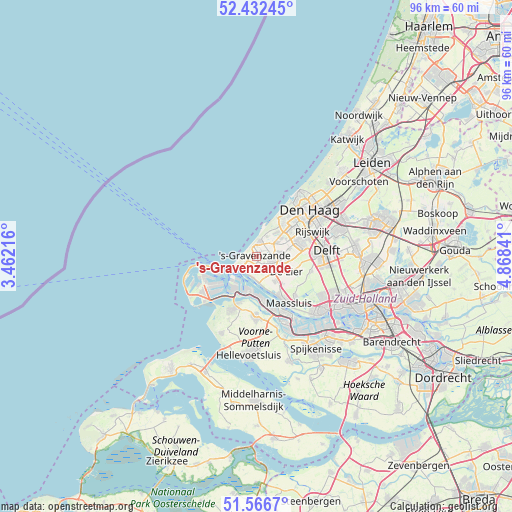
's-Gravenzande GPS coordinates[2]
52° 0' 6.012" North, 4° 9' 55.008" East
| Map corner | latitude | longitude |
|---|---|---|
| Upper-left | 52.43245°, | 3.46216° |
| Center: | 52.00167°, | 4.16528° |
| Lower-right: | 51.5667°, | 4.86841° |
| Map W x H: | 96.3×96.3 km | = 59.8×59.8mi |
| max Lat: | 53.48025° ⇑51% North |
| 's-Gravenzande: | 52.00167° |
| min Lat: | ⇓49% South 50.76917° |
| min Long | 's-Gravenzande | max Long |
| 3.38611° | 4.16528° | 7.16528° |
| W 4.6%⇐ | ⇒95.4% E |
Elevation
Elevation of 's-Gravenzande is 3 m = 10 ft, and this is 12 m = 39 ft below average elevation for this country.
| Max E: |
203 m = 666 ft | 65.8% |
| Avg. | 15 m = 49 ft | |
| 's-Gravenzande | 3 m = 10 ft | |
Min E: |
-6 m = -20 ft | 34.2% |
See also: Netherlands elevation on elevation.city.
Geographical zone
's-Gravenzande is located in North temperate zone (between Tropic of Cancer and the Arctic Circle). Distance of this North polar circle is 1619.1 km =1006.1 mi to North.| Distance of | km | miles | from 's-Gravenzande |
|---|---|---|---|
| North Pole | 4225 | 2625.3 | to North |
| Arctic Circle | 1619.1 | 1006.1 | to North |
| Tropic Cancer | 3176.1 | 1973.5 | to South |
| Equator | 5782 | 3592.8 | to South |


Nearby cities:
15 places around 's-Gravenzande: (largest is in red/bold)
• De Lier
6.4 km =4 mi,  117°
117°
• Heenweg
2.5 km =1.6 mi,  154°
154°
• Hoek van Holland
3.5 km =2.2 mi,  219°
219°
• Honselersdijk
4.1 km =2.5 mi,  82°
82°
• Kijkduin
8.3 km =5.2 mi,  27°
27°
• Kwintsheul
6.3 km =3.9 mi, 78°
• Maasdijk
5.8 km =3.6 mi,  144°
144°
• Maasland
10.5 km =6.5 mi, 135°
• Maassluis
10.5 km =6.5 mi, 146°
• Monster
2.8 km =1.7 mi,  13°
13°
• Naaldwijk
3.2 km =2 mi,  105°
105°
• Poeldijk
4.5 km =2.8 mi,  55°
55°
• Strijp
9.9 km =6.2 mi,  70°
70°
• Ter Heijde
3.2 km =2 mi,  3°
3°
• Vogelwijk
10 km =6.2 mi, 34°
Sources, notices
• [Note1] Compared only with cities in Netherlands existing in our database
• [Src1] Map data: © OpenStreetMap contributors (CC-BY-SA)
• [Src2] Other city data from geonames.org with taken over terms of usage.
• [Src3] Geographical zone / Annual Mean Temperature by Robert A. Rohde @ Wikipedia
