Maarheeze geodata
Maarheeze (North Brabant) is a populated place; located in Netherlands in Europe/Amsterdam (GMT+2) time zone. With population of 4,715 people, there are 513 cities with bigger population in this country. Compared to other cities in Netherlands, 89.1% of cities are located further ↑North; 51.9% of cities are located further →East and 87.8% of cities have lower elevation than Maarheeze. Note1


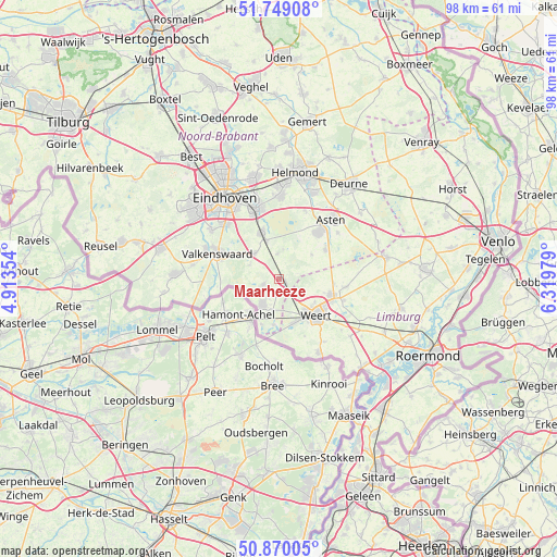
Maarheeze GPS coordinates[2]
51° 18' 42.012" North, 5° 37' 0.012" East
| Map corner | latitude | longitude |
|---|---|---|
| Upper-left | 51.74908°, | 4.91354° |
| Center: | 51.31167°, | 5.61667° |
| Lower-right: | 50.87005°, | 6.31979° |
| Map W x H: | 97.7×97.7 km | = 60.7×60.7mi |
| max Lat: | 53.48025° ⇑89.1% North |
| Maarheeze: | 51.31167° |
| min Lat: | ⇓10.9% South 50.76917° |
| min Long | Maarheeze | max Long |
| 3.38611° | 5.61667° | 7.16528° |
| W 48.1%⇐ | ⇒51.9% E |
Elevation
Elevation of Maarheeze is 30 m = 98 ft, and this is 15 m = 49 ft above average elevation for this country.
| Max E: |
203 m = 666 ft | 12.2% |
| Maarheeze | 30 m 98 ft | |
| Avg. | 15 m = 49 ft | |
Min E: |
-6 m = -20 ft | 87.8% |
See also: Netherlands elevation on elevation.city.
Geographical zone
Maarheeze is located in North temperate zone (between Tropic of Cancer and the Arctic Circle). Distance of this North polar circle is 1695.9 km =1053.8 mi to North.| Distance of | km | miles | from Maarheeze |
|---|---|---|---|
| North Pole | 4301.7 | 2673 | to North |
| Arctic Circle | 1695.9 | 1053.8 | to North |
| Tropic Cancer | 3099.4 | 1925.9 | to South |
| Equator | 5705.3 | 3545.1 | to South |


Nearby cities:
15 places around Maarheeze: (largest is in red/bold)
• Budel
5.3 km =3.3 mi,  213°
213°
• Budel-Dorplein
8.6 km =5.3 mi,  193°
193°
• Budel-Schoot
8 km =5 mi, 206°
• Budschop
10.3 km =6.4 mi,  106°
106°
• Cranendonck
2.1 km =1.3 mi,  246°
246°
• Gastel
5.1 km =3.2 mi,  235°
235°
• Heeze
8.5 km =5.3 mi,  338°
338°
• Keent
9.7 km =6 mi,  142°
142°
• Laar
7.4 km =4.6 mi,  122°
122°
• Leende
6.1 km =3.8 mi,  315°
315°
• Nederweert
9.6 km =6 mi, 107°
• Soerendonk
3.1 km =1.9 mi, 247°
• Someren-Eind
9.6 km =6 mi,  57°
57°
• Sterksel
4.5 km =2.8 mi,  355°
355°
• Weert
9.2 km =5.7 mi, 136°
Sources, notices
• [Note1] Compared only with cities in Netherlands existing in our database
• [Src1] Map data: © OpenStreetMap contributors (CC-BY-SA)
• [Src2] Other city data from geonames.org with taken over terms of usage.
• [Src3] Geographical zone / Annual Mean Temperature by Robert A. Rohde @ Wikipedia
