Bilgaard geodata
Bilgaard (Friesland) is a section of populated place; located in Netherlands in Europe/Amsterdam (GMT+2) time zone. With population of 6,105 people, there are 404 cities with bigger population in this country. Compared to other cities in Netherlands, 94.1% of cities are located further ↓South; 57.4% of cities are located further ←West and 83.9% of cities have higher elevation than Bilgaard. Note1


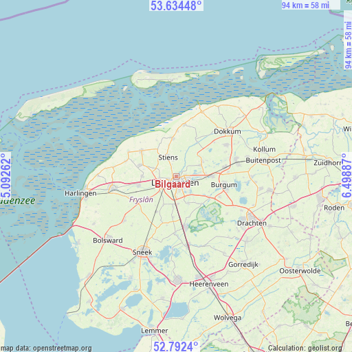
Bilgaard GPS coordinates[2]
53° 12' 55.836" North, 5° 47' 44.664" East
| Map corner | latitude | longitude |
|---|---|---|
| Upper-left | 53.63448°, | 5.09262° |
| Center: | 53.21551°, | 5.79574° |
| Lower-right: | 52.7924°, | 6.49887° |
| Map W x H: | 93.6×93.6 km | = 58.2×58.2mi |
| max Lat: | 53.48025° ⇑5.9% North |
| Bilgaard: | 53.21551° |
| min Lat: | ⇓94.1% South 50.76917° |
| min Long | Bilgaard | max Long |
| 3.38611° | 5.79574° | 7.16528° |
| W 57.4%⇐ | ⇒42.6% E |
Elevation
Elevation of Bilgaard is 1 m = 3 ft, and this is 14 m = 46 ft below average elevation for this country.
| Max E: |
203 m = 666 ft | 83.9% |
| Avg. | 15 m = 49 ft | |
| Bilgaard | 1 m = 3 ft | |
Min E: |
-6 m = -20 ft | 16.1% |
See also: Netherlands elevation on elevation.city.
Geographical zone
Bilgaard is located in North temperate zone (between Tropic of Cancer and the Arctic Circle). Distance of this North polar circle is 1484.2 km =922.2 mi to North.| Distance of | km | miles | from Bilgaard |
|---|---|---|---|
| North Pole | 4090.1 | 2541.5 | to North |
| Arctic Circle | 1484.2 | 922.2 | to North |
| Tropic Cancer | 3311.1 | 2057.4 | to South |
| Equator | 5917 | 3676.7 | to South |


Nearby cities:
15 places around Bilgaard: (largest is in red/bold)
• Aldlân-Oost
3.7 km =2.3 mi,  144°
144°
• Britsum
4.4 km =2.7 mi,  351°
351°
• Camminghaburen
3.2 km =2 mi,  101°
101°
• Deinum
5.4 km =3.4 mi,  241°
241°
• Goutum
4.3 km =2.7 mi,  172°
172°
• Gytsjerk
7.3 km =4.5 mi,  65°
65°
• Heechterp
1.9 km =1.2 mi,  110°
110°
• Hoek
1.3 km =0.8 mi,  161°
161°
• Huizum
2.8 km =1.7 mi, 158°
• Leeuwarden
1.8 km =1.1 mi,  151°
151°
• Marsum
4.7 km =2.9 mi,  263°
263°
• Stiens
5.8 km =3.6 mi,  334°
334°
• Westeinde
2 km =1.2 mi,  247°
247°
• Wirdum
7.4 km =4.6 mi,  175°
175°
• Zuiderburen
5.6 km =3.5 mi, 146°
Sources, notices
• [Note1] Compared only with cities in Netherlands existing in our database
• [Src1] Map data: © OpenStreetMap contributors (CC-BY-SA)
• [Src2] Other city data from geonames.org with taken over terms of usage.
• [Src3] Geographical zone / Annual Mean Temperature by Robert A. Rohde @ Wikipedia
