Stiens geodata
Stiens (Friesland) is a populated place; located in Netherlands in Europe/Amsterdam (GMT+2) time zone. With population of 7,300 people, there are 353 cities with bigger population in this country. Compared to other cities in Netherlands, 96.3% of cities are located further ↓South; 54.9% of cities are located further ←West and 74.9% of cities have higher elevation than Stiens. Note1


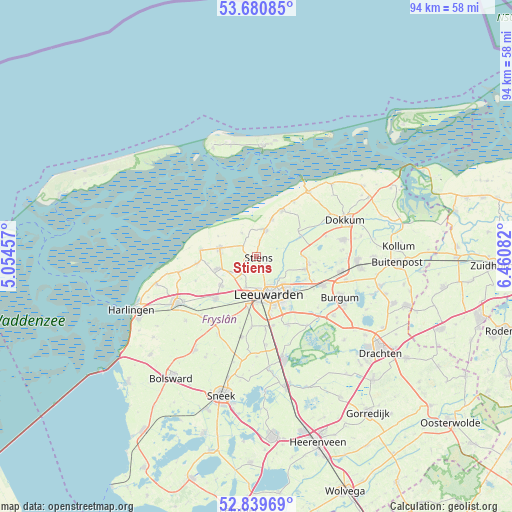
Stiens GPS coordinates[2]
53° 15' 44.424" North, 5° 45' 27.684" East
| Map corner | latitude | longitude |
|---|---|---|
| Upper-left | 53.68085°, | 5.05457° |
| Center: | 53.26234°, | 5.75769° |
| Lower-right: | 52.83969°, | 6.46082° |
| Map W x H: | 93.5×93.5 km | = 58.1×58.1mi |
| max Lat: | 53.48025° ⇑3.7% North |
| Stiens: | 53.26234° |
| min Lat: | ⇓96.3% South 50.76917° |
| min Long | Stiens | max Long |
| 3.38611° | 5.75769° | 7.16528° |
| W 54.9%⇐ | ⇒45.1% E |
Elevation
Elevation of Stiens is 2 m = 7 ft, and this is 13 m = 43 ft below average elevation for this country.
| Max E: |
203 m = 666 ft | 74.9% |
| Avg. | 15 m = 49 ft | |
| Stiens | 2 m = 7 ft | |
Min E: |
-6 m = -20 ft | 25.1% |
See also: Netherlands elevation on elevation.city.
Geographical zone
Stiens is located in North temperate zone (between Tropic of Cancer and the Arctic Circle). Distance of this North polar circle is 1479 km =919 mi to North.| Distance of | km | miles | from Stiens |
|---|---|---|---|
| North Pole | 4084.8 | 2538.2 | to North |
| Arctic Circle | 1479 | 919 | to North |
| Tropic Cancer | 3316.3 | 2060.7 | to South |
| Equator | 5922.2 | 3679.9 | to South |


Nearby cities:
15 places around Stiens: (largest is in red/bold)
• Berltsum
7.4 km =4.6 mi,  253°
253°
• Bilgaard
5.8 km =3.6 mi,  154°
154°
• Britsum
2.1 km =1.3 mi,  115°
115°
• Deinum
8.1 km =5 mi,  195°
195°
• Hallum
5.2 km =3.2 mi,  19°
19°
• Heechterp
7.3 km =4.5 mi,  143°
143°
• Hoek
7.1 km =4.4 mi,  155°
155°
• Leeuwarden
7.6 km =4.7 mi, 153°
• Marrum
7.3 km =4.5 mi, 23°
• Marsum
6.1 km =3.8 mi, 199°
• Menaam
8.1 km =5 mi,  232°
232°
• Oude Bildtzijl
5 km =3.1 mi,  328°
328°
• Sint Annaparochie
6.9 km =4.3 mi,  282°
282°
• Vrouwenparochie
4.3 km =2.7 mi,  296°
296°
• Westeinde
6 km =3.7 mi,  173°
173°
Sources, notices
• [Note1] Compared only with cities in Netherlands existing in our database
• [Src1] Map data: © OpenStreetMap contributors (CC-BY-SA)
• [Src2] Other city data from geonames.org with taken over terms of usage.
• [Src3] Geographical zone / Annual Mean Temperature by Robert A. Rohde @ Wikipedia
