Berghem geodata
Berghem (North Brabant) is a populated place; located in Netherlands in Europe/Amsterdam (GMT+2) time zone. With population of 6,500 people, there are 382 cities with bigger population in this country. Compared to other cities in Netherlands, 66% of cities are located further ↑North; 53.9% of cities are located further →East and 59.4% of cities have lower elevation than Berghem. Note1


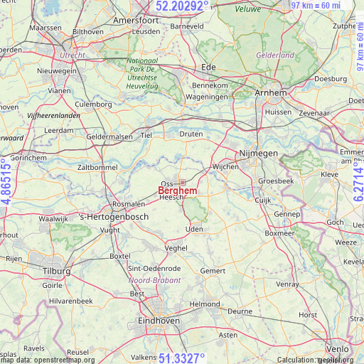
Berghem GPS coordinates[2]
51° 46' 11.676" North, 5° 34' 5.772" East
| Map corner | latitude | longitude |
|---|---|---|
| Upper-left | 52.20292°, | 4.86515° |
| Center: | 51.76991°, | 5.56827° |
| Lower-right: | 51.3327°, | 6.2714° |
| Map W x H: | 96.8×96.8 km | = 60.1×60.1mi |
| max Lat: | 53.48025° ⇑66% North |
| Berghem: | 51.76991° |
| min Lat: | ⇓34% South 50.76917° |
| min Long | Berghem | max Long |
| 3.38611° | 5.56827° | 7.16528° |
| W 46.1%⇐ | ⇒53.9% E |
Elevation
Elevation of Berghem is 10 m = 33 ft, and this is 5 m = 16 ft below average elevation for this country.
| Max E: |
203 m = 666 ft | 40.6% |
| Avg. | 15 m = 49 ft | |
| Berghem | 10 m = 33 ft | |
Min E: |
-6 m = -20 ft | 59.4% |
See also: Netherlands elevation on elevation.city.
Geographical zone
Berghem is located in North temperate zone (between Tropic of Cancer and the Arctic Circle). Distance of this North polar circle is 1644.9 km =1022.1 mi to North.| Distance of | km | miles | from Berghem |
|---|---|---|---|
| North Pole | 4250.8 | 2641.3 | to North |
| Arctic Circle | 1644.9 | 1022.1 | to North |
| Tropic Cancer | 3150.4 | 1957.6 | to South |
| Equator | 5756.3 | 3576.8 | to South |


Nearby cities:
15 places around Berghem: (largest is in red/bold)
• Amsteleind
4.7 km =2.9 mi,  265°
265°
• Batenburg
7.3 km =4.5 mi,  34°
34°
• Geffen
7.9 km =4.9 mi,  245°
245°
• Haren
3.7 km =2.3 mi,  17°
17°
• Heesch
4.9 km =3 mi,  215°
215°
• Heihoek
4.9 km =3 mi,  256°
256°
• Herpen
5.1 km =3.2 mi,  87°
87°
• Lithoijen
8 km =5 mi,  296°
296°
• Macharen
4.3 km =2.7 mi,  337°
337°
• Megen
5.8 km =3.6 mi,  356°
356°
• Nistelrode
7.3 km =4.5 mi,  183°
183°
• Oijen
7.5 km =4.7 mi,  323°
323°
• Oss
3.5 km =2.2 mi, 261°
• Ravenstein
6.4 km =4 mi,  62°
62°
• Schaijk
5.1 km =3.2 mi,  121°
121°
Sources, notices
• [Note1] Compared only with cities in Netherlands existing in our database
• [Src1] Map data: © OpenStreetMap contributors (CC-BY-SA)
• [Src2] Other city data from geonames.org with taken over terms of usage.
• [Src3] Geographical zone / Annual Mean Temperature by Robert A. Rohde @ Wikipedia
