Megen geodata
Megen (North Brabant) is a populated place; located in Netherlands in Europe/Amsterdam (GMT+2) time zone. With population of 1,520 people, there are 1121 cities with bigger population in this country. Compared to other cities in Netherlands, 63.2% of cities are located further ↑North; 54.2% of cities are located further →East and 52.4% of cities have lower elevation than Megen. Note1


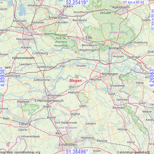
Megen GPS coordinates[2]
51° 49' 18.012" North, 5° 33' 45" East
| Map corner | latitude | longitude |
|---|---|---|
| Upper-left | 52.25419°, | 4.85938° |
| Center: | 51.82167°, | 5.5625° |
| Lower-right: | 51.38496°, | 6.26563° |
| Map W x H: | 96.6×96.6 km | = 60×60mi |
| max Lat: | 53.48025° ⇑63.2% North |
| Megen: | 51.82167° |
| min Lat: | ⇓36.8% South 50.76917° |
| min Long | Megen | max Long |
| 3.38611° | 5.5625° | 7.16528° |
| W 45.8%⇐ | ⇒54.2% E |
Elevation
Elevation of Megen is 7 m = 23 ft, and this is 8 m = 26 ft below average elevation for this country.
| Max E: |
203 m = 666 ft | 47.6% |
| Avg. | 15 m = 49 ft | |
| Megen | 7 m = 23 ft | |
Min E: |
-6 m = -20 ft | 52.4% |
See also: Netherlands elevation on elevation.city.
Geographical zone
Megen is located in North temperate zone (between Tropic of Cancer and the Arctic Circle). Distance of this North polar circle is 1639.1 km =1018.5 mi to North.| Distance of | km | miles | from Megen |
|---|---|---|---|
| North Pole | 4245 | 2637.7 | to North |
| Arctic Circle | 1639.1 | 1018.5 | to North |
| Tropic Cancer | 3156.1 | 1961.1 | to South |
| Equator | 5762 | 3580.3 | to South |


Nearby cities:
15 places around Megen: (largest is in red/bold)
• Afferden
8.2 km =5.1 mi,  37°
37°
• Amsteleind
7.5 km =4.7 mi,  215°
215°
• Batenburg
4.6 km =2.9 mi,  86°
86°
• Bergharen
8 km =5 mi,  66°
66°
• Berghem
5.8 km =3.6 mi,  176°
176°
• Druten
8 km =5 mi,  21°
21°
• Haren
2.7 km =1.7 mi,  145°
145°
• Herpen
7.8 km =4.8 mi,  135°
135°
• Horssen
5 km =3.1 mi, 40°
• Lithoijen
7.1 km =4.4 mi,  252°
252°
• Macharen
2.2 km =1.4 mi, 215°
• Oijen
4.1 km =2.5 mi,  273°
273°
• Oss
7 km =4.3 mi,  205°
205°
• Puiflijk
6.6 km =4.1 mi, 16°
• Ravenstein
6.6 km =4.1 mi,  114°
114°
Sources, notices
• [Note1] Compared only with cities in Netherlands existing in our database
• [Src1] Map data: © OpenStreetMap contributors (CC-BY-SA)
• [Src2] Other city data from geonames.org with taken over terms of usage.
• [Src3] Geographical zone / Annual Mean Temperature by Robert A. Rohde @ Wikipedia
