Aserrío de Gariché geodata
Aserrío de Gariché (Chiriquí) is a seat of a third-order administrative division; located in Panama in America/Panama (GMT-5) time zone. With population of 1,804 people, there are 130 cities with bigger population in this country. Compared to other cities in Panama, 51.5% of cities are located further ↓South; 96.2% of cities are located further →East and 55% of cities have higher elevation than Aserrío de Gariché. Note1


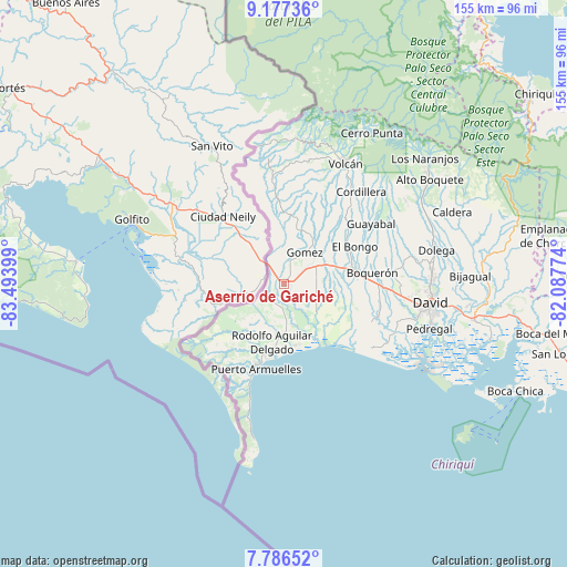
Aserrío de Gariché GPS coordinates[2]
8° 28' 57.252" North, 82° 47' 27.096" West
| Map corner | latitude | longitude |
|---|---|---|
| Upper-left | 9.17736°, | -83.49399° |
| Center: | 8.48257°, | -82.79086° |
| Lower-right: | 7.78652°, | -82.08774° |
| Map W x H: | 154.6×154.6 km | = 96.1×96.1mi |
| max Lat: | 9.60898° ⇑48.5% North |
| Aserrío de Gariché: | 8.48257° |
| min Lat: | ⇓51.5% South 7.26534° |
| min Long | Aserrío de Gar | max Long |
| -82.91275° | -82.79086° | -77.38965° |
| W 3.8%⇐ | ⇒96.2% E |
Elevation
Elevation of Aserrío de Gariché is 63 m = 207 ft, and this is 109.1 m = 358 ft below average elevation for this country.
| Max E: |
2103 m = 6900 ft | 55% |
| Avg. | 172.1 m = 565 ft | |
| Aserrío de Gariché | 63 m = 207 ft | |
Min E: |
-1 m = -3 ft | 45% |
See also: Panama elevation on elevation.city.
Geographical zone
Aserrío de Gariché is located in North Torrid zone (between Equator and Tropic of Cancer). Distance of Equator is 943.2 km =586.1 mi to South.| Distance of | km | miles | from Aserrío de Gariché |
|---|---|---|---|
| North Pole | 9063.9 | 5632 | to North |
| Arctic Circle | 6458 | 4012.8 | to North |
| Tropic Cancer | 1662.7 | 1033.2 | to North |
| Equator | 943.2 | 586.1 | to South |


Nearby cities:
15 places around Aserrío de Gariché: (largest is in red/bold)
• Celmira
6.5 km =4 mi,  350°
350°
• Chuchupate
9.7 km =6 mi,  236°
236°
• Cuervito Abajo
5.7 km =3.5 mi,  250°
250°
• El Roble
3.1 km =1.9 mi,  36°
36°
• Gariché
0.8 km =0.5 mi,  84°
84°
• Gómez
10.3 km =6.4 mi,  31°
31°
• Jacú
2.8 km =1.7 mi,  272°
272°
• La Esperanza
8.8 km =5.5 mi,  180°
180°
• Paso Canoas Arriba
9.8 km =6.1 mi,  339°
339°
• Portón
8.8 km =5.5 mi,  4°
4°
• Progreso
6.6 km =4.1 mi,  232°
232°
• San Isidro
6.6 km =4.1 mi,  323°
323°
• Santa Marta
10.7 km =6.6 mi,  70°
70°
• Santa María
6.9 km =4.3 mi, 235°
• Santo Domingo
9 km =5.6 mi, 71°
Sources, notices
• [Note1] Compared only with cities in Panama existing in our database
• [Src1] Map data: © OpenStreetMap contributors (CC-BY-SA)
• [Src2] Other city data from geonames.org with taken over terms of usage.
• [Src3] Geographical zone / Annual Mean Temperature by Robert A. Rohde @ Wikipedia
