Lamud geodata
Lamud (Amazonas) is a seat of a third-order administrative division; located in Peru in America/Lima (GMT-5) time zone. In our database, there are 305 cities with bigger population. Compared to other cities in Peru, 88.9% of cities are located further ↓South; 80.4% of cities are located further →East and 61.9% of cities have higher elevation than Lamud. Note1


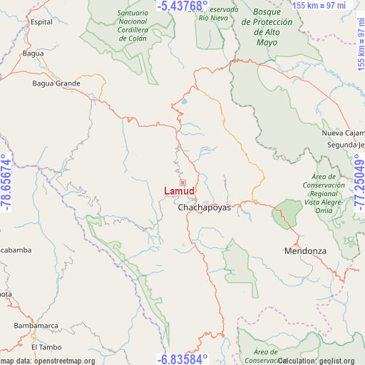
Lamud GPS coordinates[2]
6° 8' 13.992" South, 77° 57' 12.996" West
| Map corner | latitude | longitude |
|---|---|---|
| Upper-left | -5.43768°, | -78.65674° |
| Center: | -6.13722°, | -77.95361° |
| Lower-right: | -6.83584°, | -77.25049° |
| Map W x H: | 155.5×155.5 km | = 96.6×96.6mi |
| max Lat: | -0.96667° ⇑11.1% North |
| Lamud: | -6.13722° |
| min Lat: | ⇓88.9% South -18.01465° |
| min Long | Lamud | max Long |
| -81.30472° | -77.95361° | -69.04167° |
| W 19.6%⇐ | ⇒80.4% E |
Elevation
Elevation of Lamud is 2327 m = 7635 ft, and this is 8.3000000000002 m = 27 ft above average elevation for this country.
| Max E: |
5022 m = 16476 ft | 61.9% |
| Lamud | 2327 m 7635 ft | |
| Avg. | 2318.7 m = 7607 ft | |
Min E: |
1 m = 3 ft | 38.1% |
See also: Peru elevation on elevation.city.
Geographical zone
Lamud is located in South Torrid zone (between Equator and Tropic of Capricorn). Distance of Equator is 682.4 km =424 mi to North.| Distance of | km | miles | from Lamud |
|---|---|---|---|
| Equator | 682.4 | 424 | to North |
| Tropic Capricorn | 1923.5 | 1195.2 | to South |
| Antarctic Circle | 6718.8 | 4174.9 | to South |
| South Pole | 9324.7 | 5794.1 | to South |


Nearby cities:
15 places around Lamud: (largest is in red/bold)
• Chachapoyas
14.1 km =8.8 mi,  138°
138°
• Churuja
13.7 km =8.5 mi,  0°
0°
• Colcamar
18.3 km =11.4 mi,  186°
186°
• Cuispes
24.6 km =15.3 mi,  5°
5°
• Daguas
25.6 km =15.9 mi,  112°
112°
• Huancas
10.6 km =6.6 mi, 112°
• Inguilpata
11.5 km =7.1 mi,  181°
181°
• Levanto
20 km =12.4 mi,  162°
162°
• Lonya Chico
10.4 km =6.5 mi, 181°
• Luya
3.1 km =1.9 mi, 162°
• Maino
23.6 km =14.7 mi, 159°
• Olto
3.9 km =2.4 mi,  350°
350°
• Paclas
8.7 km =5.4 mi,  343°
343°
• San Carlos
19.1 km =11.9 mi, 6°
• Santa Catalina
12.2 km =7.6 mi,  283°
283°
Sources, notices
• [Note1] Compared only with cities in Peru existing in our database
• [Src1] Map data: © OpenStreetMap contributors (CC-BY-SA)
• [Src2] Other city data from geonames.org with taken over terms of usage.
• [Src3] Geographical zone / Annual Mean Temperature by Robert A. Rohde @ Wikipedia
